graphic-art, print, intaglio, engraving
#
graphic-art
#
comic strip sketch
#
dutch-golden-age
# print
#
pen sketch
#
intaglio
#
old engraving style
#
personal sketchbook
#
sketchwork
#
pen-ink sketch
#
line
#
pen work
#
sketchbook drawing
#
storyboard and sketchbook work
#
sketchbook art
#
engraving
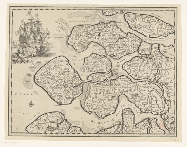
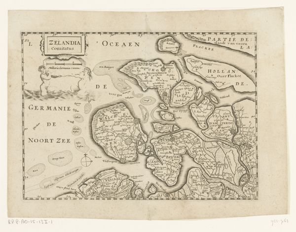
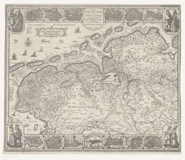
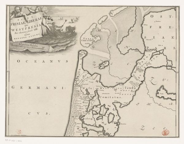
Dimensions: height 165 mm, width 236 mm
Copyright: Rijks Museum: Open Domain
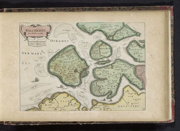
Curator: Let's discuss this intriguing map, "Kaart van Walcheren," an anonymous engraving from around 1635-1696. Editor: Yes, it's fascinating! The detail is incredible, especially considering its age. It feels quite objective, just laying out the geography. What stands out to you? Curator: It may seem purely informational, but maps are never neutral. Who creates them, and for what purpose? Walcheren was a strategically vital island, experiencing frequent battles and shifts in power during this period. Look at the placement of fortifications versus villages. What does that tell you about the priorities of those who commissioned this map? Editor: That's a good point! I hadn’t thought about it like that. Were there specific conflicts occurring then? Curator: Absolutely. The Dutch Republic was in its Golden Age, yet constantly defending itself. The map becomes a tool not just for navigation but for claiming and controlling space amid conflict with Spain. This visual language reflects a culture grappling with identity, authority, and the very real threat of inundation. How does this lens change how you see this object now? Editor: It shifts everything. It’s no longer just a map, it’s a statement of power. So, considering who this map served and how it shaped the social structure back then, is it still relevant today? Curator: Absolutely, as a lens through which we can understand power dynamics and human impact on the world. Looking at these old maps allows us to reconsider the construction of knowledge and space, particularly in colonial contexts. Editor: Wow, I will never look at old maps the same way again. Thank you! Curator: My pleasure!
Comments
No comments
Be the first to comment and join the conversation on the ultimate creative platform.
More like this