About this artwork
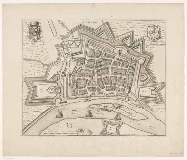
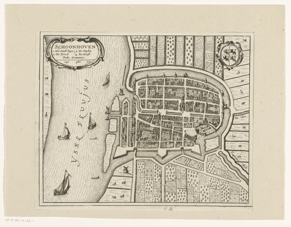
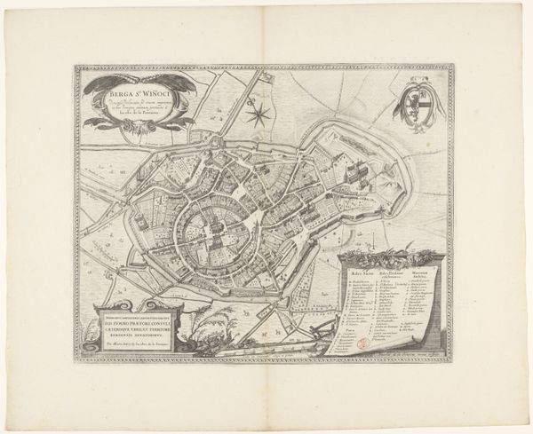
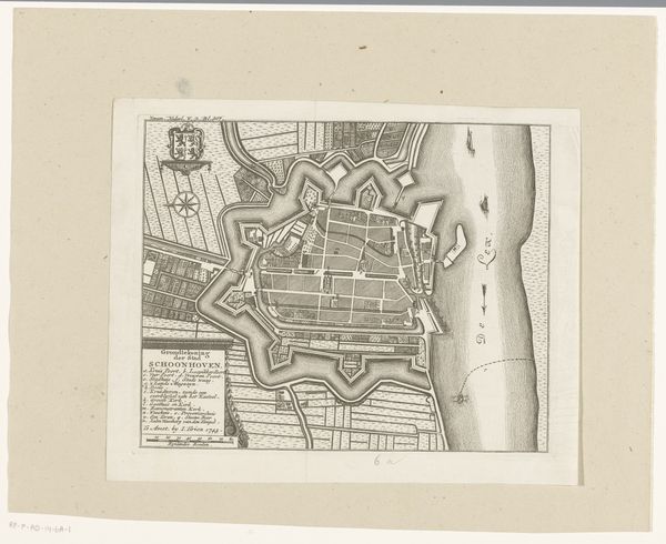
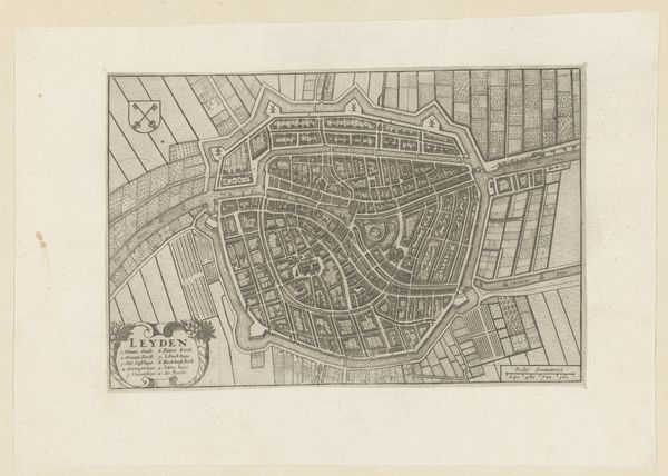
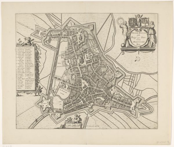
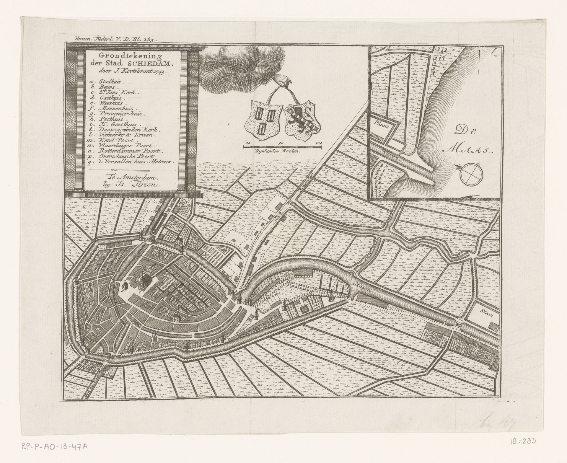
Editor: Here we have “Plattegrond van Schiedam,” a print made sometime after 1744, credited to an anonymous artist. It's an engraving of the city layout. I’m struck by how the details depict the organized division of land and waterways. How can we interpret the significance of its visual composition? Curator: What grabs my attention are the tangible elements, like the engraving process itself. Think of the labor involved. The tools, the metal plate, the precise movements. This wasn't simply about depicting a cityscape. It was about controlling and representing the landscape. It shows a mastery of materials, and the control they exercised over their environment. Notice the contrast between the densely packed urban center and the strictly regimented fields outside. What does that division of space tell us? Editor: It suggests control…planned allocation. Fields segmented in contrast with the crowded streets of the city. Curator: Exactly. And beyond aesthetics, consider its purpose. Who commissioned this? Who was the intended consumer? It probably was used as evidence for commercial transactions to plan for infrastructure expansion, for landowners demarcating land portions. Think of this print not just as art, but as a commodity circulating within specific economic systems. It facilitated those systems. The materiality is the message! Editor: I hadn't considered it from that perspective. So, instead of just viewing it as a historical cityscape, you're urging us to look at the materials and processes involved in its creation and the role it played in societal systems of its time? Curator: Precisely. By focusing on the material conditions and the context of production and consumption, we get a much richer understanding of the print’s significance. Editor: This is very insightful! Thank you!
Artwork details
- Medium
- print, engraving
- Dimensions
- height 177 mm, width 219 mm
- Copyright
- Rijks Museum: Open Domain
Tags
dutch-golden-age
old engraving style
cityscape
engraving
Comments
No comments
About this artwork
Editor: Here we have “Plattegrond van Schiedam,” a print made sometime after 1744, credited to an anonymous artist. It's an engraving of the city layout. I’m struck by how the details depict the organized division of land and waterways. How can we interpret the significance of its visual composition? Curator: What grabs my attention are the tangible elements, like the engraving process itself. Think of the labor involved. The tools, the metal plate, the precise movements. This wasn't simply about depicting a cityscape. It was about controlling and representing the landscape. It shows a mastery of materials, and the control they exercised over their environment. Notice the contrast between the densely packed urban center and the strictly regimented fields outside. What does that division of space tell us? Editor: It suggests control…planned allocation. Fields segmented in contrast with the crowded streets of the city. Curator: Exactly. And beyond aesthetics, consider its purpose. Who commissioned this? Who was the intended consumer? It probably was used as evidence for commercial transactions to plan for infrastructure expansion, for landowners demarcating land portions. Think of this print not just as art, but as a commodity circulating within specific economic systems. It facilitated those systems. The materiality is the message! Editor: I hadn't considered it from that perspective. So, instead of just viewing it as a historical cityscape, you're urging us to look at the materials and processes involved in its creation and the role it played in societal systems of its time? Curator: Precisely. By focusing on the material conditions and the context of production and consumption, we get a much richer understanding of the print’s significance. Editor: This is very insightful! Thank you!
Comments
No comments