print, engraving
#
medieval
# print
#
old engraving style
#
landscape
#
engraving
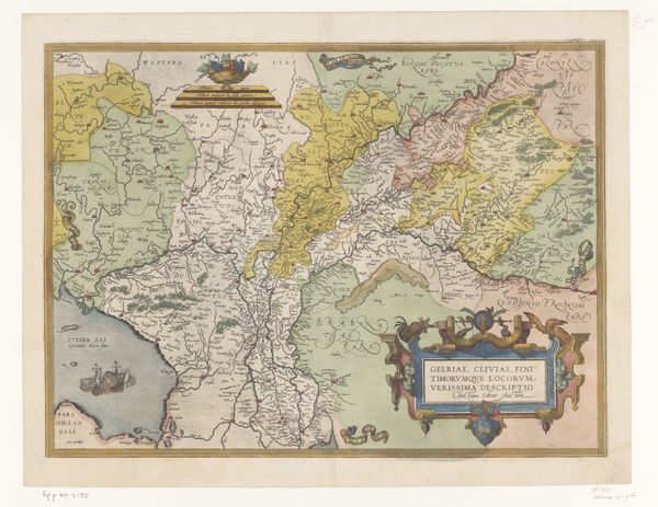
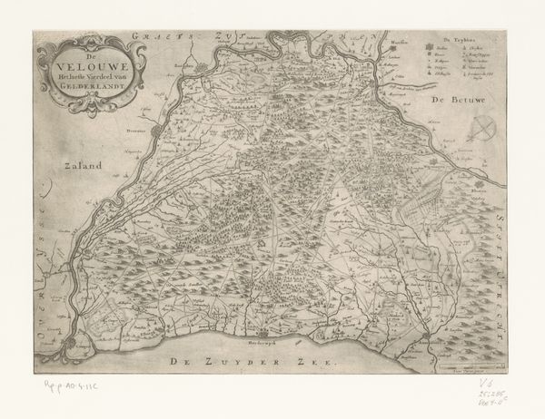
Dimensions: height 365 mm, width 493 mm
Copyright: Rijks Museum: Open Domain
This map of the Duchy of Luxembourg was made by an anonymous artist, and relies on traditional techniques of printmaking and hand-coloring. The map's material essence lies in its inked lines, the paper supporting them, and the pigments layering color upon form. Consider how the map was made: an engraver painstakingly etched lines into a metal plate. This plate was then inked and pressed onto paper, producing a detailed impression. The coloring – likely applied by hand, in a workshop setting – completes the image. The act of mapping itself carries social weight. By representing space, cartographers claimed knowledge and control over it. This particular map not only depicts geography, but also encodes political power, delineating territories and asserting ownership. Looking at this map, we should appreciate not only its aesthetic qualities, but also the labor, skill, and ambition that went into its creation. It reminds us that even seemingly straightforward images are embedded in a complex web of making and meaning.
Comments
No comments
Be the first to comment and join the conversation on the ultimate creative platform.
More like this