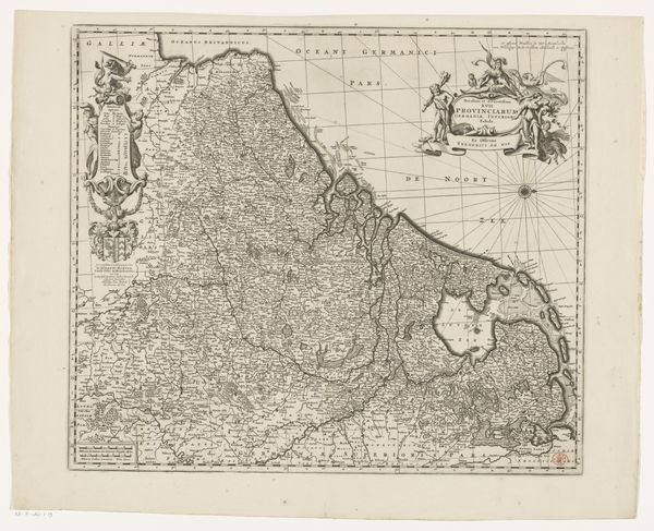
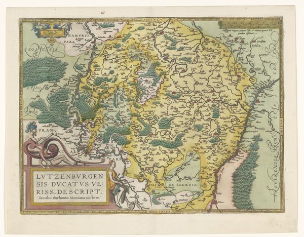
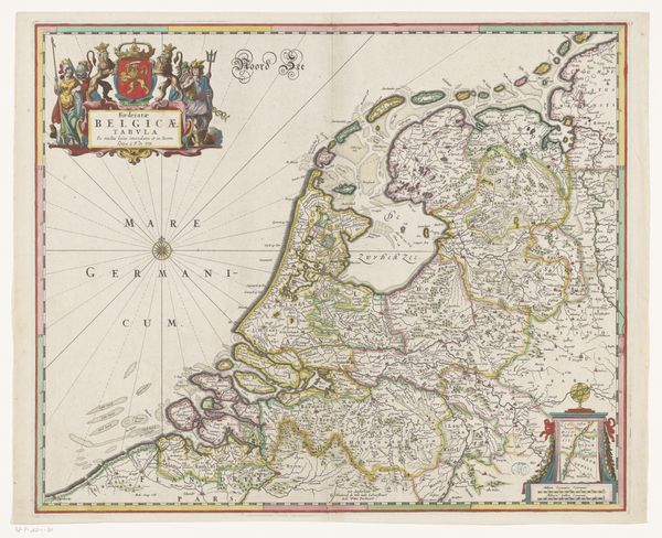
print, engraving
# print
#
geometric
#
history-painting
#
engraving
Dimensions: height 473 mm, width 573 mm
Copyright: Rijks Museum: Open Domain
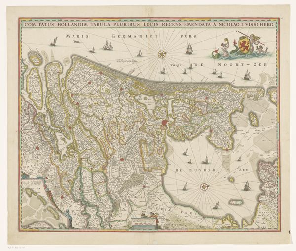
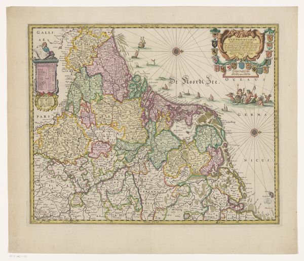
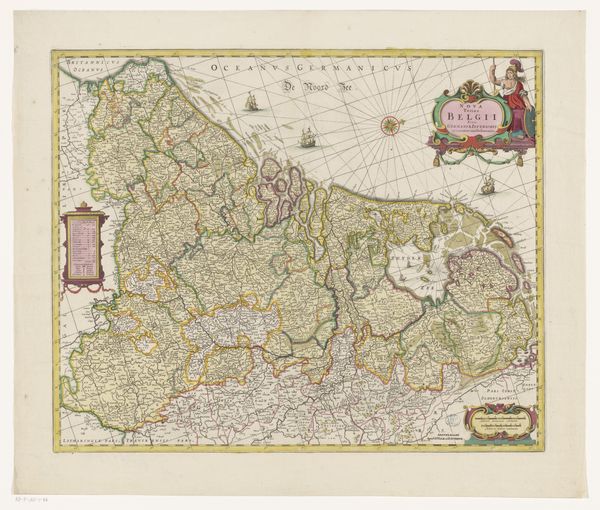
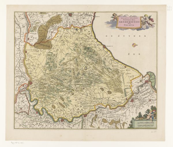
Editor: This print, “Kaart van de Zeventien Provinciën,” or “Map of the Seventeen Provinces,” dates from sometime between 1656 and 1663 and is by Abraham Jansz. Deur. It’s an engraving, so pretty intricate in its detail. What I notice most is how… overtly celebratory it seems, what with all the flourishes and allegorical figures around the edges. What story is it trying to tell? Curator: That's a great observation! The decorations are key. Remember, maps in this period weren’t just about geographical accuracy, but also about political messaging. These allegorical figures around the title – what do they seem to represent? Editor: Well, there’s wealth on one side, I think – with what looks like cornucopias? And the figures on the other side...Justice? It's all very stately, very self-assured. Curator: Precisely! The map presents a vision of the Seventeen Provinces – roughly today’s Benelux countries – as a unified, prosperous, and virtuous entity. Now consider the date. The Dutch Republic was newly independent, but also enmeshed in wars and political maneuvering. What role do you think this image of unity played within that context? Editor: Ah, so it's less a neutral depiction and more of a piece of propaganda! Showing everyone how strong and together they were, despite, or maybe even *because* of, all the conflict? Curator: Exactly! The “accuracy” of the map isn’t simply about place names, but about projecting power and legitimacy. Maps like this were crucial tools in shaping a shared identity and solidifying the Republic's position on the world stage. Editor: Wow, I never thought about a map as having such a loaded agenda! I guess everything has a point of view. Curator: Precisely, and understanding the politics of imagery, then and now, is fundamental to understanding history. Thanks!
Comments
No comments
Be the first to comment and join the conversation on the ultimate creative platform.
More like this