drawing, graphic-art, paper, ink
#
drawing
#
graphic-art
#
landscape
#
paper
#
ink
#
modernism
Dimensions: height 207 mm, width 292 mm
Copyright: Rijks Museum: Open Domain
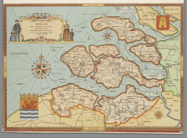
Editor: We’re looking at “Kaart van Noord-Holland, 1940” by Studio Certo, circa 1947. It’s a drawing done in ink on paper, a piece of graphic art styled as a landscape. It’s got such a charming, almost storybook feel to it, but I am interested to know how you see this piece. Curator: Considering this map, it is the compositional interplay of the land and sea that strikes me first. Observe the meticulously delineated boundaries, etched in ink, that define Noord-Holland. The varying densities of lines and stippling denote terrains. What does this structural relationship communicate, do you think? Editor: I see how the line work emphasizes the contrast between the developed areas and the waterways. Curator: Precisely. Furthermore, consider the colour palette. The muted tones – the gentle blues of the water and the earthy hues of the land – serve to create a harmonious whole. It prompts an intriguing dichotomy; the map is representational, but it embraces artful arrangement and refined coloring. This interplay between information and aesthetic elevates the piece beyond pure cartography. Editor: So, it’s not just about function but about form as well. Are you suggesting the design is intended to evoke an emotional response through color and line? Curator: Precisely, to stir a sense of place. This map embodies the harmonious interplay between artistry and precision, showcasing how design elements can enhance our understanding and appreciation of space itself. What does the superimposition of these formal elements communicate to you? Editor: I now realize this piece functions on multiple levels, as a visual artifact blending form, information, and artistry, beyond its mere representation of geographic space. Curator: Indeed, a synthesis achieved through careful manipulation of line, color, and composition.
Comments
No comments
Be the first to comment and join the conversation on the ultimate creative platform.
More like this