graphic-art, print, etching
#
graphic-art
#
baroque
# print
#
etching
#
landscape
#
etching
Dimensions: height 564 mm, width 494 mm
Copyright: Rijks Museum: Open Domain
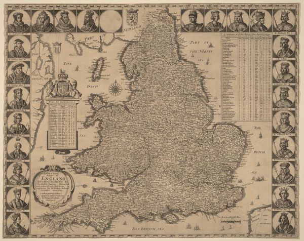
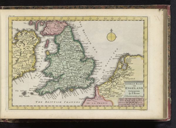
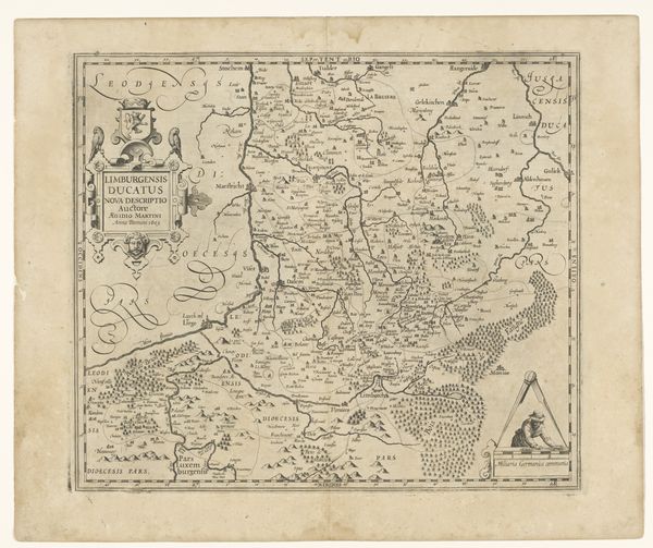
Gilliam van der Gouwen created this map of England in the 18th century, using etching to render its geographical and political contours. Cartography during this period was deeply enmeshed with colonial expansion and national identity formation. Maps weren't just neutral depictions of land; they were tools of power, defining territories and legitimizing claims. Notice how England is meticulously detailed, while surrounding areas remain less defined. This reflects the period's Eurocentric worldview, where European territories were seen as centers of knowledge and civilization. The ornate decorations and symbolic figures woven into the map subtly underscore England’s self-image as a dominant force. Think about what it means to map a place, to inscribe it with names and boundaries. How does this act of mapping reflect our relationship to the land, to power, and to each other?
Comments
No comments
Be the first to comment and join the conversation on the ultimate creative platform.
More like this