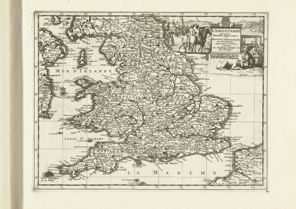
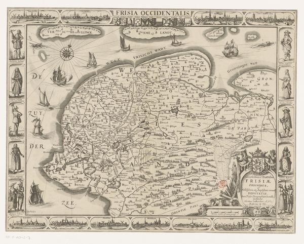
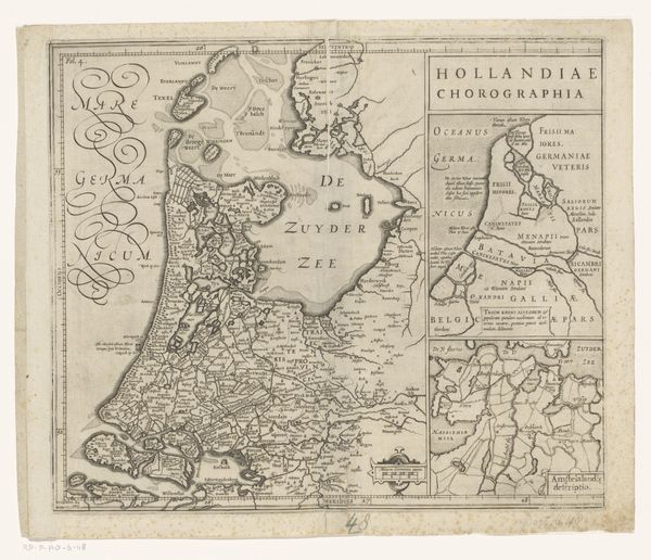
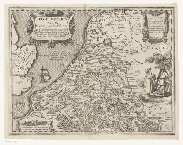
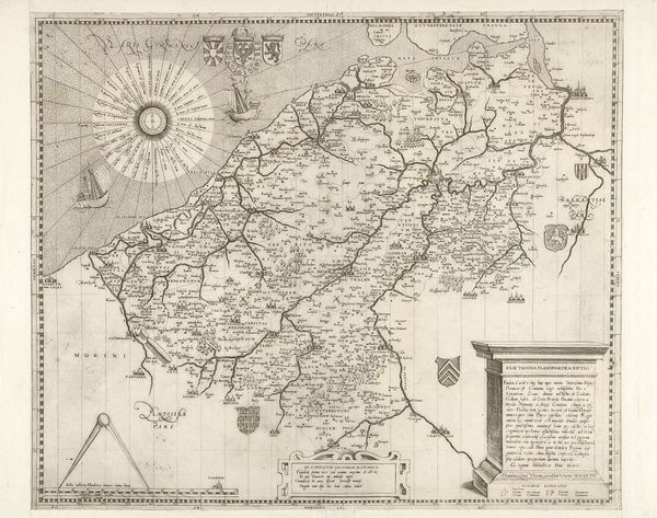
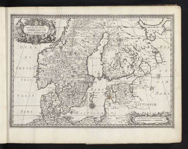
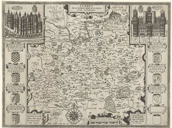
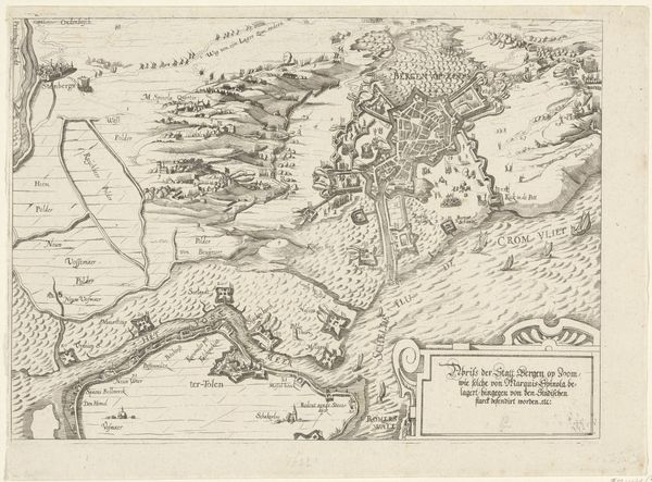
graphic-art, print, engraving
#
graphic-art
# print
#
history-painting
#
engraving
Dimensions: sheet (trimmed to plate): 37.9 × 47.8 cm (14 15/16 × 18 13/16 in.)
Copyright: National Gallery of Art: CC0 1.0
This detailed map of England was created by Wenceslaus Hollar, a 17th-century Bohemian etcher. It’s an engraving, which means Hollar used a tool called a burin to cut lines into a copper plate, with ink held in these lines to create the print. Look closely and you will see a complex combination of geography, royal portraiture, and lists of distances between cities. The act of engraving requires planning, precision, and patience. The crisp lines delineate not just the contours of the land, but also the social and political landscape of the time. The portraits of monarchs act as a kind of brand, associating the map with power and authority. Even the careful rendering of distances speaks to an emerging culture of trade, travel, and administration. The making of this map reflects broader shifts in society, from the rise of scientific observation to the growth of centralized states. By appreciating the labor and skill involved, we can understand this work not just as a document, but as a cultural artifact embedded with social and political meaning.
Comments
No comments
Be the first to comment and join the conversation on the ultimate creative platform.
More like this