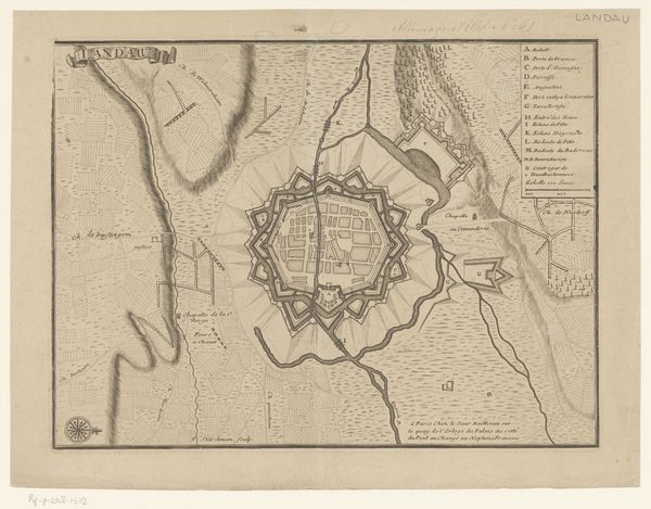
1709 - 1732
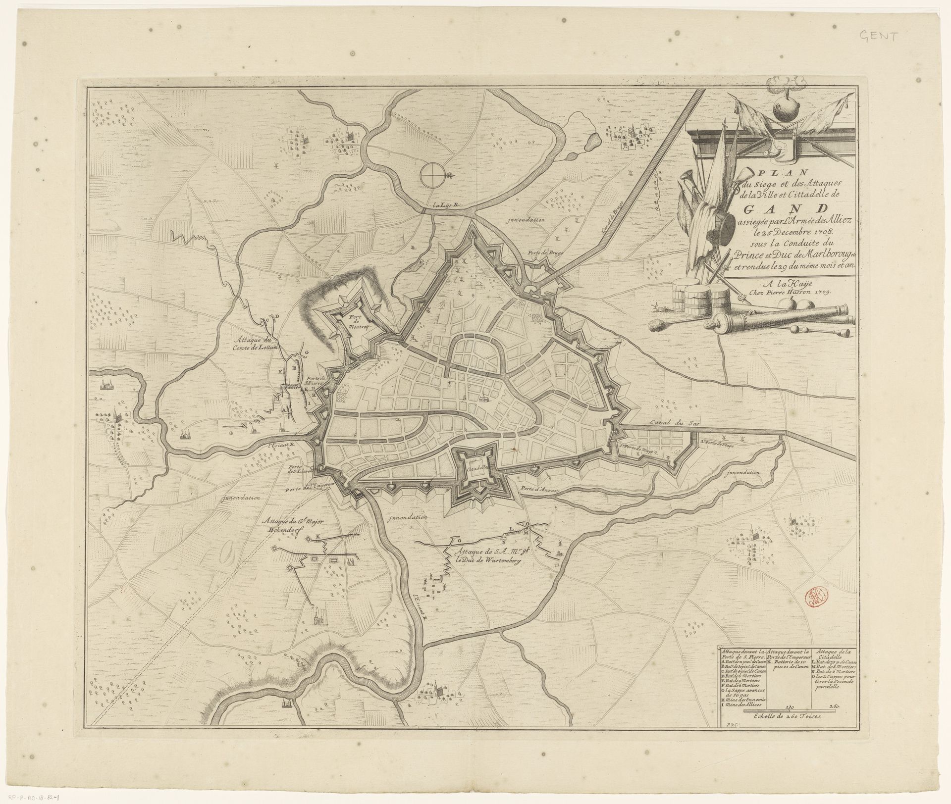
Plan van het beleg van Gent, 1708
Pieter van (II) Call
1688 - 1737Location
RijksmuseumListen to curator's interpretation
Curatorial notes
Pieter van Call the Younger created this print titled 'Plan van het beleg van Gent, 1708.' This map offers a bird's-eye view of Ghent under siege during the War of the Spanish Succession. It reflects the period's intense geopolitical struggles, with the city caught in a tug-of-war between European powers. Maps like these were not merely geographical tools, they were instruments of power, defining territories and asserting control. Consider how the precise lines and detailed fortifications rendered in this print emphasize a sense of order and dominance, but also, on the ground, these sieges meant immense suffering for the civilian population. Notice how the representation of space is deeply intertwined with political ambitions. The map is a powerful statement about claiming and defending territory. It’s a reminder that every line drawn on a map has real-world implications for the lives and histories of those within its borders.