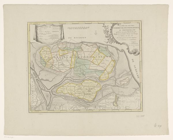
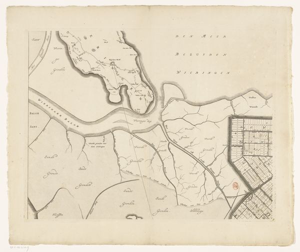
Kaart van de uitgeveende landen rond Nieuwkoop, Zevenhoven, Nieuwveen, Korteraar en Aarlanderveen 1742
0:00
0:00
drawing, print, etching
#
drawing
# print
#
etching
#
old engraving style
#
landscape
#
etching
Dimensions: height 415 mm, width 567 mm
Copyright: Rijks Museum: Open Domain
This is an anonymous map of the uitgeveende landen around Nieuwkoop, made without a specified date, rendered with the precision of detailed lines. Notice the compass rose—a symbol deeply embedded in the human quest for orientation. It appears not just on maps, but as a persistent motif throughout history. Initially, the compass rose was a practical tool for navigation, yet, it morphed into a powerful symbol of exploration, direction, and destiny. Reflect on the ancient mariners who charted unknown waters with similar guides. How did this symbol influence not only their physical journeys, but also their psychological orientation, their sense of place in the world? The collective memory associated with the compass rose is rich, connecting us to daring voyages, cultural exchanges, and the relentless human desire to discover and map our existence. It is a symbol that evokes a deep-seated sense of adventure and the human spirit’s unyielding push into the unknown.
Comments
No comments
Be the first to comment and join the conversation on the ultimate creative platform.
More like this