print, etching
# print
#
etching
#
landscape
#
etching
#
geometric
#
cityscape
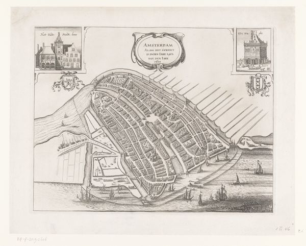
Dimensions: height 190 mm, width 246 mm
Copyright: Rijks Museum: Open Domain
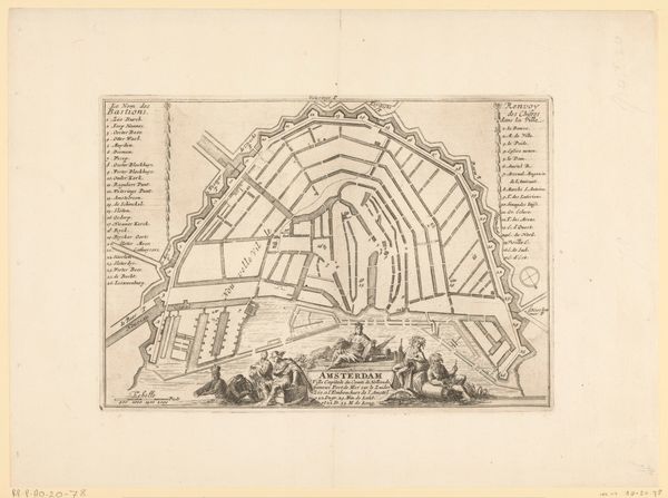
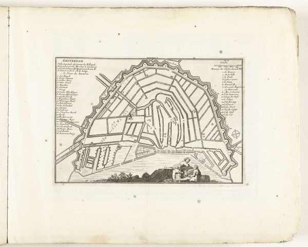
This anonymous map of Amsterdam, whose date is unknown, offers us a glimpse into the city's intricate network of waterways and canals. Mapping, particularly during the early modern period, was a deeply political act. It was about more than just geography; it was about power, control, and the assertion of dominion over both land and people. In the context of Amsterdam, a major hub for global trade and colonialism, such a map becomes a symbolic representation of the city’s economic and political ambitions. Who was included and excluded in the visual narrative of this city? This plan of Amsterdam is an image of the city’s order and rationality and simultaneously obscures the labor, exploitation, and social hierarchies upon which that order was built. As you consider this map, reflect on the stories it tells and the ones it leaves out. Consider its role in shaping not just our understanding of a place, but also our understanding of ourselves in relation to that place.
Comments
No comments
Be the first to comment and join the conversation on the ultimate creative platform.
More like this