drawing, coloured-pencil, print, etching, paper, ink
drawing
coloured-pencil
baroque
etching
landscape
paper
ink
coloured pencil
geometric
orientalism
Dimensions: height 193 mm, width 315 mm
Copyright: Rijks Museum: Open Domain
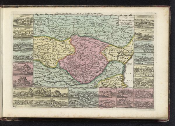
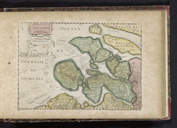
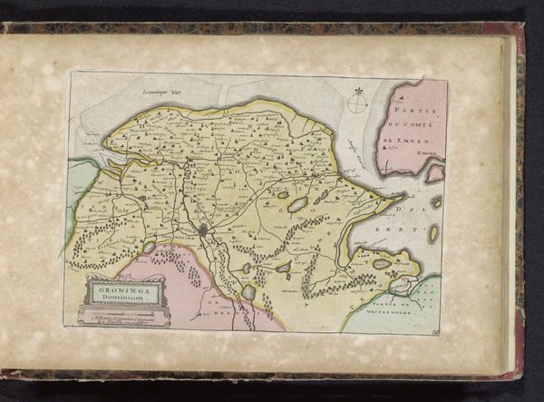
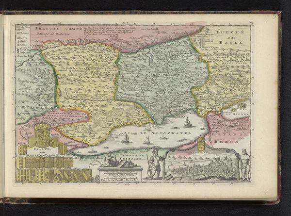
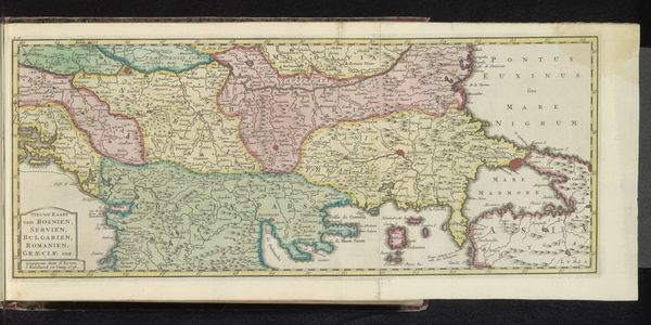
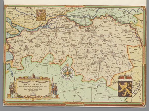
This is an undated map of the countries surrounding the Black Sea, made by an anonymous artist. Consider that in early mapmaking, the act of cartography was deeply entwined with power, politics, and the assertion of identity. Note the Dutch text, telling us about its origins in the Netherlands, a major center for map production during the age of exploration. It represents the world from a distinctly European perspective. The map is a reflection of how Europeans understood, classified, and ultimately sought to control different parts of the world. The map invites us to consider the histories of the people who lived in these regions. Who were the indigenous populations? How did they perceive their own territories? How did the rise and fall of empires shape the identities and lives of the people who call this place home? Such maps not only charted geography, but also laid the groundwork for future geopolitical dynamics, inviting us to reflect on the legacies of colonialism and cultural exchange.
Comments
No comments
Be the first to comment and join the conversation on the ultimate creative platform.