graphic-art, print, engraving
#
graphic-art
#
dutch-golden-age
# print
#
landscape
#
engraving
Dimensions: height 529 mm, width 740 mm
Copyright: Rijks Museum: Open Domain
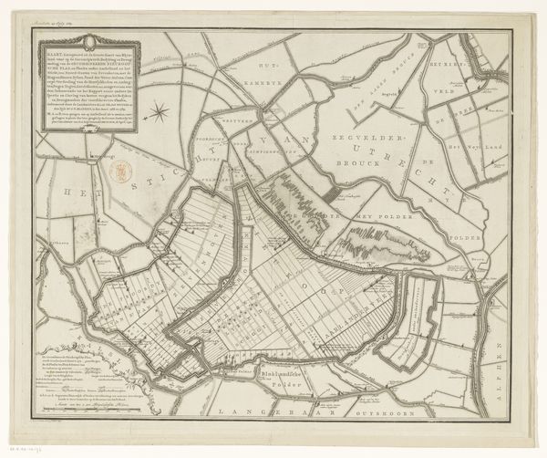
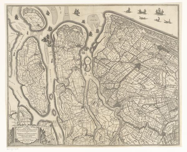
This map of Oost-Voorne, or Voorne, was made by Jan Stemmers using printing and engraving techniques. The material, paper, supports the detailed network of waterways, land divisions, and settlements that define the region. It offers insights into the relationship between the land and its inhabitants. The map's creation involved skilled craftsmanship, from engraving the intricate lines to the printing process itself. The use of specific tools and techniques reflects the precision required for accurate representation. The map signifies more than geographical data, representing the cultural and economic value associated with land ownership and resource management. The degree of detail suggests the labor and resources invested in the creation of the map, highlighting its role in facilitating trade, navigation, and governance. Considering the materials, making, and cultural context of the map, one gains a deeper appreciation for its artistic, historical, and social significance.
Comments
No comments
Be the first to comment and join the conversation on the ultimate creative platform.
More like this