print, engraving
# print
#
geometric
#
cityscape
#
engraving
Dimensions: height 501 mm, width 595 mm
Copyright: Rijks Museum: Open Domain
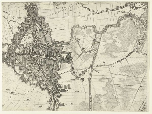
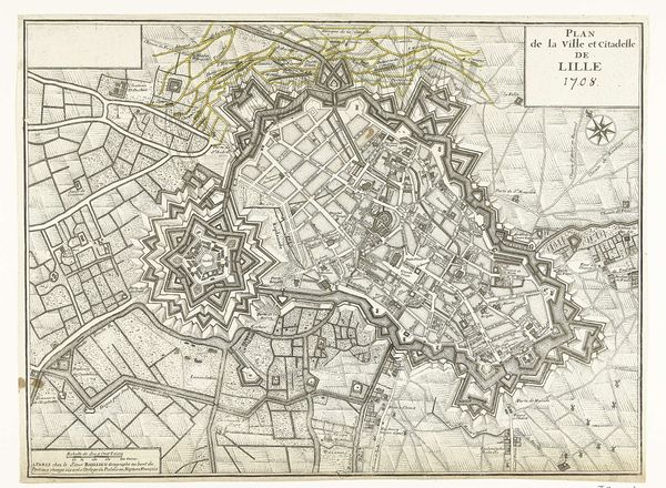
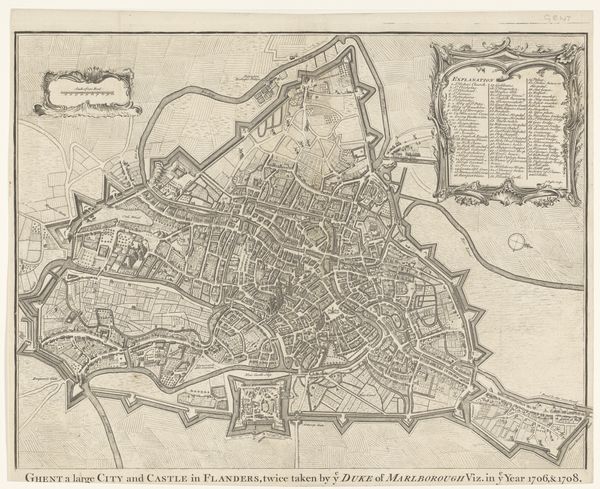
Frans de Bakker's map of Brussels presents the city encircled by fortifications, emblems of protection and control. These walls, with their star-shaped bastions, evoke not only physical defense but also the psychological security sought by city dwellers. This motif of the enclosed city is ancient, appearing in early Mesopotamian art and persisting through the medieval walled cities of Europe. These barriers, while meant to keep threats at bay, also symbolize the confinement and constraints of urban life. The star-shaped fortresses are reminiscent of Leonardo da Vinci’s designs for ideal cities, reflecting a Renaissance fascination with geometry and order. But these forms, while rational in design, can also trigger subconscious anxieties about being trapped or surveilled. In the collective memory, the city wall has thus become a powerful symbol, embodying both safety and restriction, echoing through time in various forms, from the walls of Jerusalem to modern gated communities. This enduring image continues to engage us, revealing how our subconscious intertwines with the built environment.
Comments
No comments
Be the first to comment and join the conversation on the ultimate creative platform.
More like this