#
toned paper
#
pen drawing
#
pen sketch
#
sketch book
#
personal sketchbook
#
ink drawing experimentation
#
pen-ink sketch
#
pen work
#
sketchbook drawing
#
sketchbook art
Dimensions: height 375 mm, width 490 mm
Copyright: Rijks Museum: Open Domain
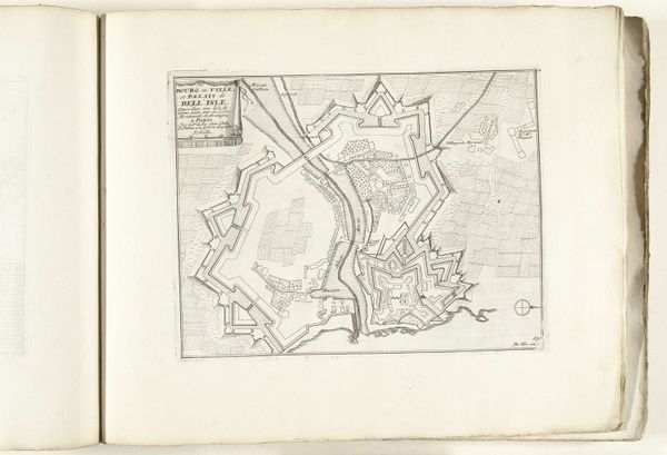
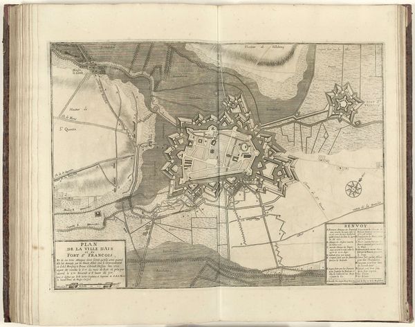
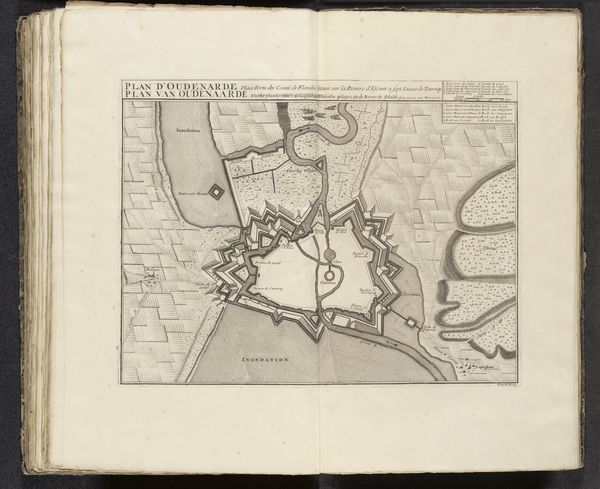
Jacobus Harrewijn created this print of Saint-Omer in 1710 using engraving, a painstaking process of cutting lines into a metal plate, inking it, and pressing it onto paper. The character of this map is defined by labor. First, by the labor required to build the fortifications, canals, and other features documented here. Then, by the labor of the draftsman who originally surveyed the landscape, and the engraver, Harrewijn, who translated it into reproducible form. The very intricacy of the lines, particularly those defining the architecture, demonstrate skilled handwork. The effect is technical, certainly, but also beautiful. Consider the social context. This was an era of constant territorial disputes, and maps were essential tools of power. Their accuracy was vital, but so too was their capacity to impress. The profusion of fine lines is almost a form of propaganda, communicating the might and sophistication of Saint-Omer. Ultimately, the convergence of craft, information, and strategic purpose demonstrates the significance of labor in shaping our understanding of the world.
Comments
No comments
Be the first to comment and join the conversation on the ultimate creative platform.
More like this