drawing, print, ink, engraving
#
drawing
# print
#
landscape
#
ink
#
geometric
#
engraving
Dimensions: height 451 mm, width 579 mm
Copyright: Rijks Museum: Open Domain
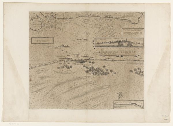
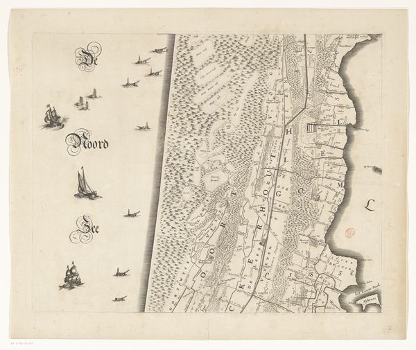
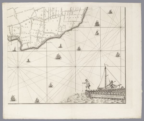
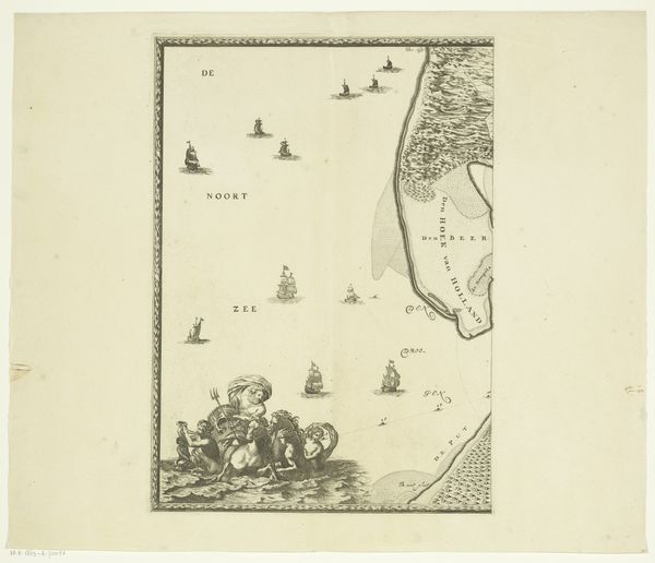
Curator: Before us, we have Coenraet Decker's "Kaart van Kennemerland en West-Friesland (dertiende deel)," a map created around 1680. It's part of the Rijksmuseum's collection. Editor: The stark lines immediately make an impression, almost clinical, despite the clear hand that crafted them. Look at the paper; you can almost feel the roughness, the way it might have resisted the engraver's tool. Curator: Decker wasn’t simply depicting geography; he was also mapping power, ownership. Note the meticulous detail of land divisions, illustrating control over resources. These maps weren't passive representations. They actively shaped perceptions and solidified Dutch authority in the region. Editor: And consider the materiality. It's ink on paper— humble stuff. But the labor involved in creating the intricate lines of this engraving tells a story of skilled craftsmanship. The sheer time to make something so meticulous would be substantial. Curator: Absolutely, but consider, too, the rise of cartography in this period. Amsterdam was a center of trade and colonial ambition; maps became strategic tools for navigation, resource extraction, and consolidating empires. These maps reflected the wealth accumulation facilitated by this precise knowledge. Editor: It’s fascinating how an ostensibly functional item reflects the whole social order of the time. Think about the accessibility – who was intended to consume this image? Was it the landed gentry? The merchants deciding shipping routes? How were such images disseminated, reproduced, and received in that specific moment? Curator: Excellent points. Furthermore, the ‘Maris German’ title, gesturing to the wider North Sea, reflects the expansive ambitions of Dutch maritime power. The map, far from a neutral object, participated in asserting dominion. Editor: It's a perfect example of how seemingly 'objective' representations can embody the complex social dynamics. Studying its creation and its function gives us a tactile connection to the past. I also just love seeing those tiny boats sailing along the bottom! Curator: Indeed. Decker’s map invites us to contemplate the ways in which knowledge is inextricably bound up with power. Editor: I’ll remember to think more about labor the next time I’m blindly following a map on my phone. Thanks for the insights!
Comments
No comments
Be the first to comment and join the conversation on the ultimate creative platform.
More like this