print, etching, engraving
baroque
etching
landscape
geometric
line
cityscape
engraving
Dimensions: height 243 mm, width 280 mm
Copyright: Rijks Museum: Open Domain
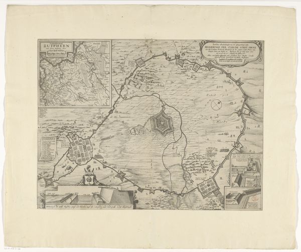
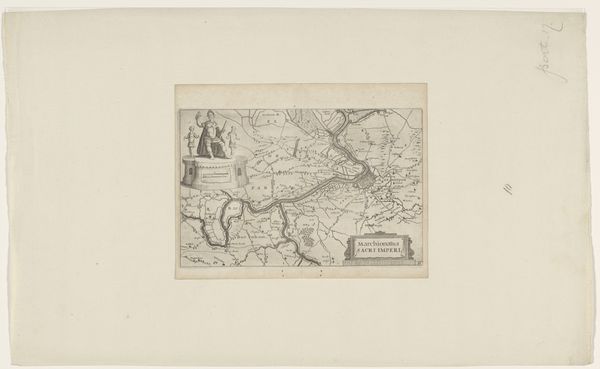
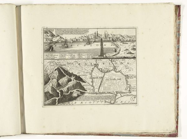
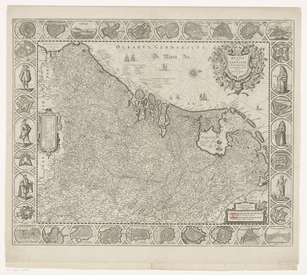
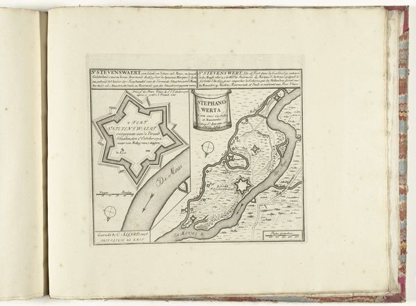
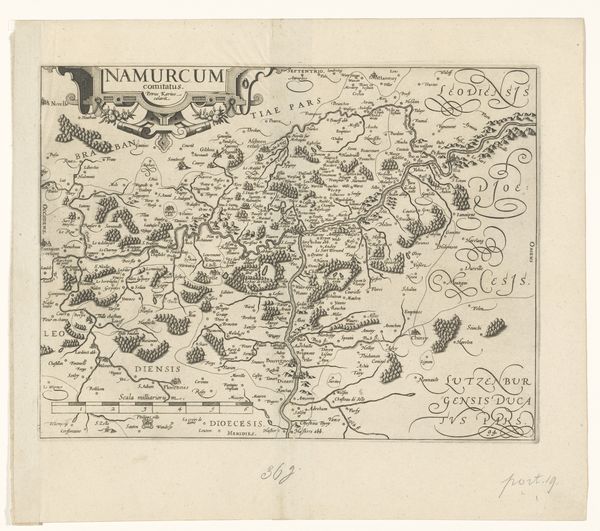
Curator: Look at this etching! It's a print from between 1705 and 1728, titled "Plattegrond van Mainz," currently held at the Rijksmuseum. Editor: Intricate. My initial reaction is that the formal linearity, the precise rendering of shapes, gives it a very orderly feel, wouldn’t you agree? Almost clinical. Curator: Indeed. This city plan reflects a particular moment in Mainz's history. Consider how city mapping during this period was instrumental to military strategy, reflecting geopolitical power struggles. Editor: Notice the carefully delineated riverbanks and the architectural structures? The strategic layout, from a purely formal standpoint, creates a complex interplay of line and space, guiding the eye across the print. Curator: Exactly! And those strategic layouts, those star forts you see… they dictated who had access to resources and safety. These maps reinforced existing hierarchies by creating barriers between communities, both physically and socially. Editor: The contrast is striking. The dark etching against the light paper allows each section to pop, doesn't it? A deliberate artistic choice. Curator: Very deliberate! Consider also, however, the function of maps in constructing a sense of place. For whom was this map intended? Was it accessible to the residents depicted? Was its purpose surveillance, knowledge, or something else? The map encodes its own power dynamics. Editor: Power, yes, expressed in a purely aesthetic fashion. What a combination of meticulous craftsmanship, yet the precision with its lines constructs meaning itself! I find the objective quality strangely beautiful. Curator: Precisely. Recognizing how the aesthetics are not separate from the social or political reality helps us decipher the impact this work may have had and how our contemporary biases can affect the artwork. Editor: It certainly provides food for thought regarding cartography as an art form! Curator: Yes, let’s also reflect on the idea of archival silences in maps, highlighting the lives erased from dominant narratives of the period, and question traditional historicizing methodologies.
Comments
No comments
Be the first to comment and join the conversation on the ultimate creative platform.