print, etching, engraving
#
baroque
#
dutch-golden-age
# print
#
etching
#
landscape
#
etching
#
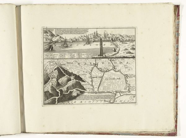
cityscape
#
engraving
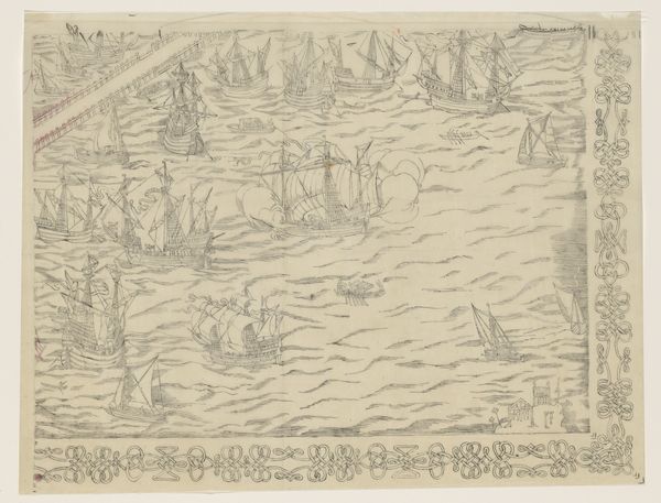
Dimensions: height 498 mm, width 360 mm
Copyright: Rijks Museum: Open Domain
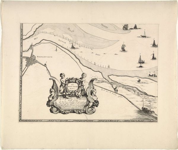
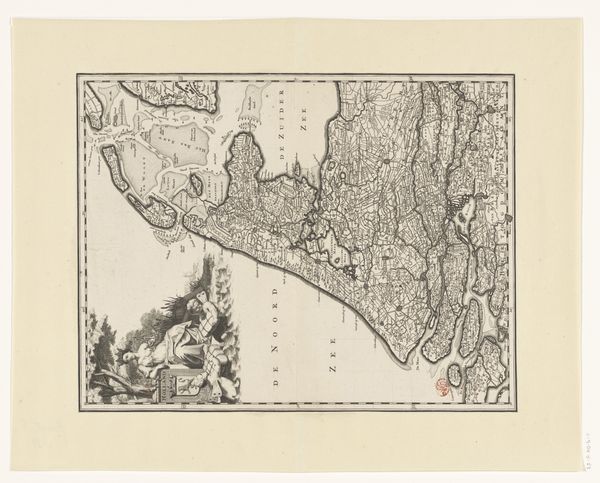
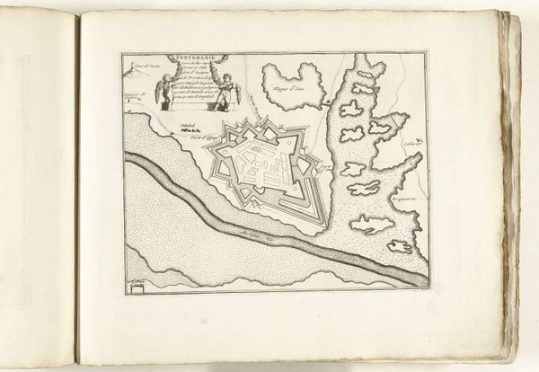
This is Joost van Geel’s depiction of the Maas river from Rotterdam to the North Sea. Dominating the scene, Neptune, the Roman god of the sea, rides triumphantly on a chariot, a symbol deeply rooted in classical antiquity. The presence of Neptune is not merely decorative; it reflects a long-standing tradition of invoking classical imagery to assert power and control, in this case, over the waterways. The trident in his hand, a recurring motif, is often seen in other contexts where divine power is celebrated. Consider the symbolic journey of the trident itself. From ancient depictions of Poseidon wielding his trident to Renaissance-era fountains adorned with Neptune, it resurfaces, each time laden with accumulated cultural significance. We see this symbol re-emerge in popular culture, demonstrating its lasting power to evoke authority and dominance. The figure of Neptune engages our subconscious, a collective memory of maritime power and the unpredictable force of nature. The recurring presence of classical figures offers a potent connection to past ages, echoing through time in a non-linear, cyclical progression.
Comments
No comments
Be the first to comment and join the conversation on the ultimate creative platform.
More like this