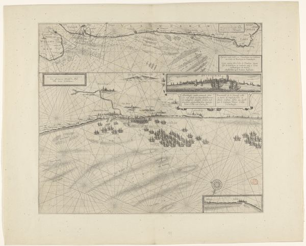
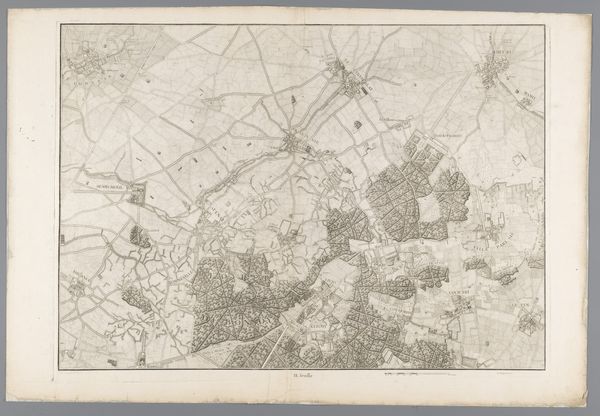
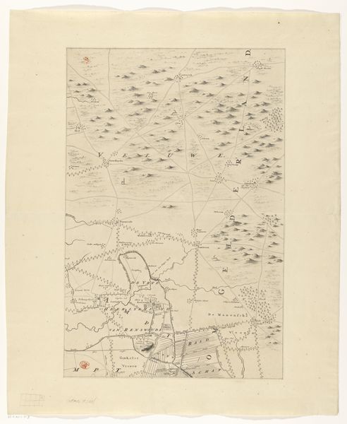
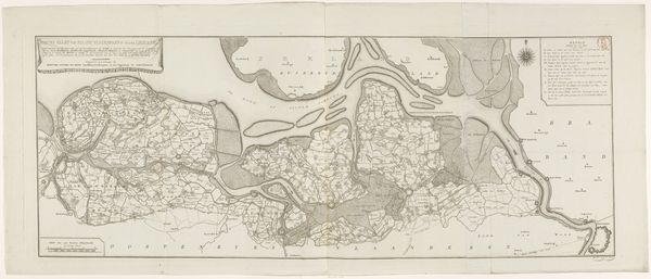
Kaart van de kust bij Duinkerke en van de Vlaamse kust van Walcheren tot Boulogne, 1631 1636 - 1649
0:00
0:00
anonymous
Rijksmuseum
#
aged paper
#
toned paper
#
light pencil work
#
ink paper printed
#
parchment
#
old engraving style
#
sketch book
#
etching
#
personal sketchbook
#
watercolor
Dimensions: height 439 mm, width 512 mm
Copyright: Rijks Museum: Open Domain
Editor: Here we have an anonymous map, titled "Kaart van de kust bij Duinkerke en van de Vlaamse kust van Walcheren tot Boulogne, 1631", dating from sometime between 1636 and 1649. It’s held at the Rijksmuseum. The etched lines give the whole piece this very delicate, intricate feeling. How do you approach understanding this kind of piece? Curator: What’s fascinating is thinking about the labour involved. The etching process – the skilled craft required to transfer this cartographic information onto a plate, then the repeated printing process... This wasn't just about representing geography; it was a means of production tied to political power and trade. What kind of paper was used and where might it have been produced, for example? Editor: So, instead of focusing on the geographical accuracy, you're drawn to the methods used to create the map itself. Curator: Exactly! Think about the availability of materials back then. Where did they get the ink? The quality of the paper affects the final product. And these are things that would vary depending on socioeconomic factors. A map made for a wealthy merchant versus one for a local fisherman would differ significantly in their materiality, their production costs, and in the care taken in its making. Does this map bear signs of wear and tear from excessive handling, such as repairs, holes, or annotations? Editor: That’s really interesting, the idea that even a map can be viewed as a product reflecting economic and social status. It prompts a whole new set of questions, like who was meant to use this? Curator: Precisely! Maps weren’t always objective tools, divorced from their social context, the artist’s personal details. So next time you look at an old map, think less about the location, and more about the process, the materials, and what they tell you about the time period. Editor: I will. Considering the act of making and material really brings a different depth to it all.
Comments
No comments
Be the first to comment and join the conversation on the ultimate creative platform.
More like this