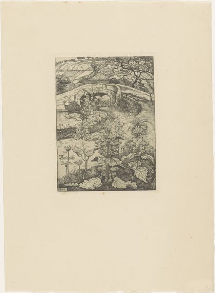
print, engraving
#
dutch-golden-age
# print
#
landscape
#
geometric
#
engraving
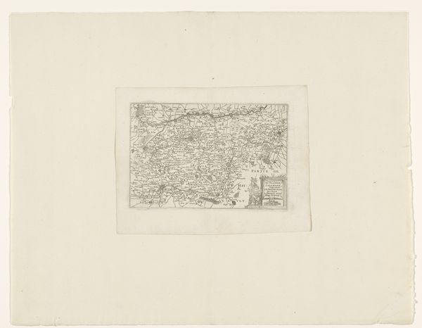
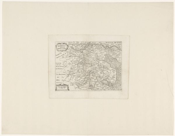
Dimensions: height 165 mm, width 238 mm
Copyright: Rijks Museum: Open Domain
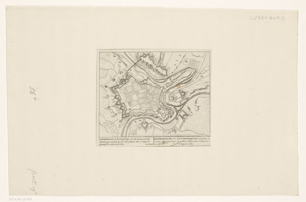
Curator: Immediately I’m drawn in by the fine detail, it has this incredible miniaturist quality. It's like holding an entire world in your hand. Editor: Absolutely, the map offers us an almost godlike perspective, promising a sense of mastery. I think the composition, though orderly, reveals how knowledge itself is a form of control, particularly regarding land and resources. Curator: We're looking at “Kaart van het graafschap Vlaanderen,” or "Map of the County of Flanders,” a print by an anonymous artist, made sometime between 1635 and 1696. It's an engraving. Maps from this period are just loaded with symbolism. The level of intricacy—the swirling script, the way they rendered coastlines—it speaks volumes. Editor: Flanders, during this period, witnessed intense territorial disputes, so the map embodies political intentions, consciously marking borders. These weren’t objective documents but tools. Look at the embellishments around the margins; they are there to convey a kind of dominion, legitimizing a particular claim to the region. Curator: Definitely! Maps also carry potent psychological weight, don’t they? Our sense of place, belonging... Flanders has obviously always been this historically contested place, so, the act of mapping asserts belonging as a constant negotiation. Editor: Yes, it creates inclusion, and, by extension, exclusion. Cartography became essential for solidifying power during this era. And this print is a perfect example of how art and power intersect; even the very act of distributing such an image amplifies the ideology it subtly presents. Curator: Absolutely. It provides an emotional sense of familiarity—a kind of anchoring for people. Do you think that’s something the original viewers would have appreciated, that sense of feeling centered? Editor: I think that the map offered viewers both an emotional grounding and the chance to situate themselves within shifting politics of the era, aligning with or against represented power. Curator: That interplay is fascinating. Thanks for shedding some light! Editor: Of course! These visual devices are really windows into a complex history.
Comments
No comments
Be the first to comment and join the conversation on the ultimate creative platform.
More like this