drawing, print, etching, paper, engraving
#
drawing
#
medieval
# print
#
etching
#
etching
#
paper
#
history-painting
#
engraving
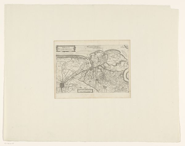
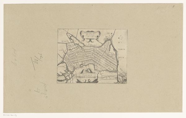
Dimensions: height 162 mm, width 222 mm
Copyright: Rijks Museum: Open Domain
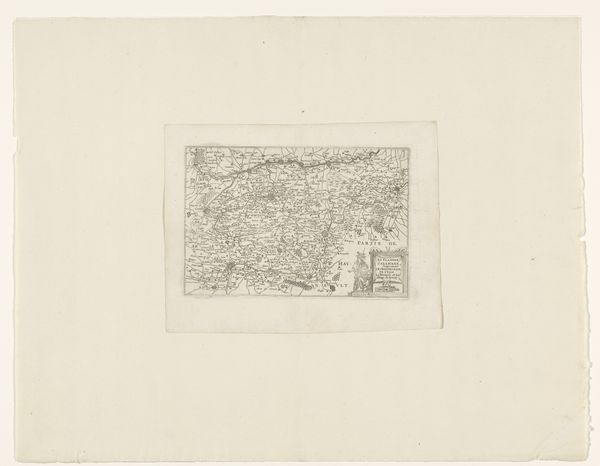
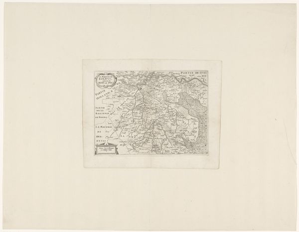
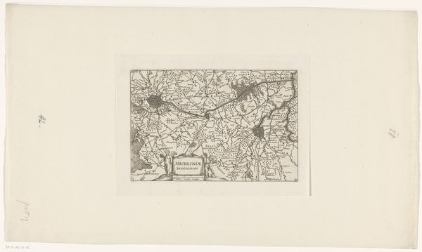
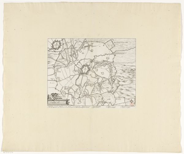
This map of West-Vlaanderen is an engraving by an anonymous artist. It's a fascinating example of how graphic techniques can be employed to shape our understanding of the world. The process of engraving involves using a tool called a burin to carve lines directly into a metal plate, which is then inked and printed onto paper. Look closely and you can see the crisp, precise lines created by the engraver's hand. The density and direction of these lines give the map its texture, defining the boundaries of towns, rivers, and other geographical features. But this map is more than just a representation of space. It’s a product of its time, reflecting the social and economic forces at play. Consider the labor involved in creating this map: the skilled craftsmanship of the engraver, the resources required to produce the materials. In its own way, it represents the beginnings of modern cartography, with all the implications of standardization and distribution that come with it. By attending to its materials and making, we can appreciate this map not just as a historical document, but as a testament to the ingenuity and labor that went into its creation.
Comments
No comments
Be the first to comment and join the conversation on the ultimate creative platform.
More like this