About this artwork
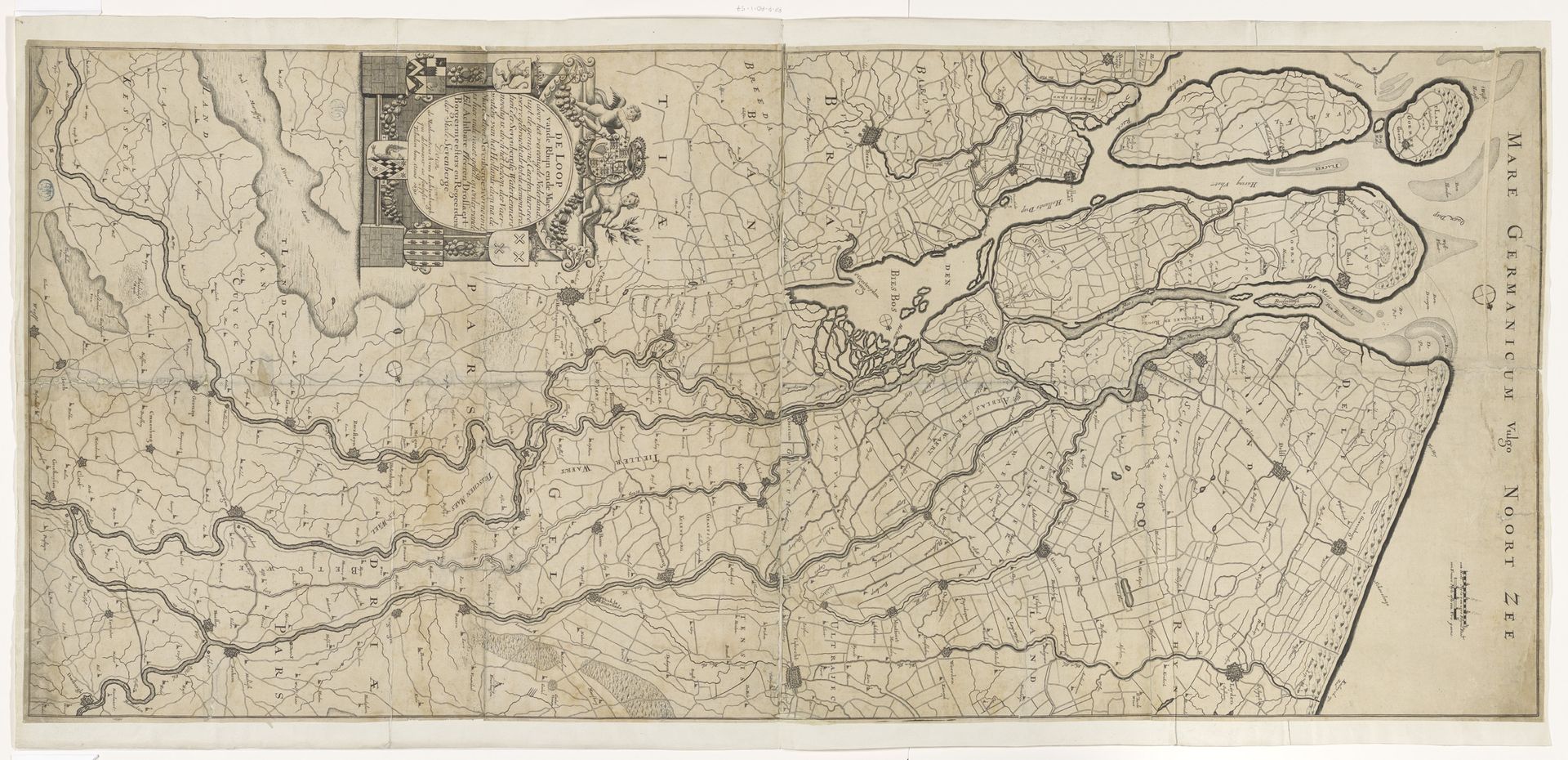
Andreas van Luchtenburg made this map of the Rhine and Maas rivers using engraving techniques. Born in the Dutch Republic during its Golden Age, his work reflects a period of intense maritime exploration and colonial expansion. The detailed rendering of waterways and land divisions speaks not only to geographical accuracy but also to the assertion of territorial claims and trade routes. Think about how maps, like this one, served as tools of power, defining boundaries and facilitating the movement of goods and people. In what ways did these maps affect indigenous populations and shape global power dynamics? There’s an emotional resonance in considering these historical implications—the personal stories of merchants, explorers, and displaced communities whose lives were mapped out and forever altered. This map embodies a visual intersection of culture, commerce, and control.
Artwork details
- Medium
- print, engraving
- Dimensions
- height 533 mm, width 1189 mm
- Copyright
- Rijks Museum: Open Domain
Tags
dutch-golden-age
old engraving style
landscape
river
geometric
cityscape
engraving
Comments
Be the first to share your thoughts about this work.
About this artwork
Andreas van Luchtenburg made this map of the Rhine and Maas rivers using engraving techniques. Born in the Dutch Republic during its Golden Age, his work reflects a period of intense maritime exploration and colonial expansion. The detailed rendering of waterways and land divisions speaks not only to geographical accuracy but also to the assertion of territorial claims and trade routes. Think about how maps, like this one, served as tools of power, defining boundaries and facilitating the movement of goods and people. In what ways did these maps affect indigenous populations and shape global power dynamics? There’s an emotional resonance in considering these historical implications—the personal stories of merchants, explorers, and displaced communities whose lives were mapped out and forever altered. This map embodies a visual intersection of culture, commerce, and control.
Comments
Be the first to share your thoughts about this work.