About this artwork
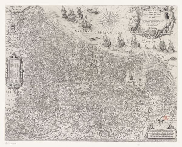
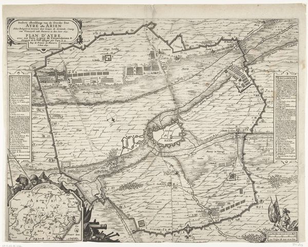
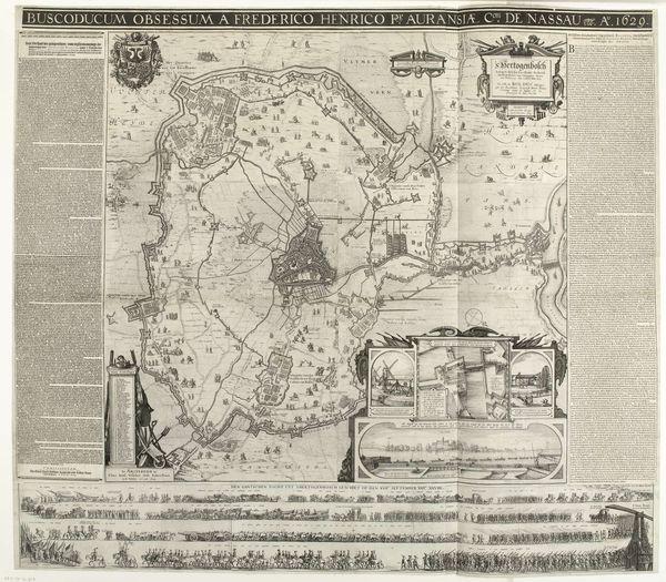
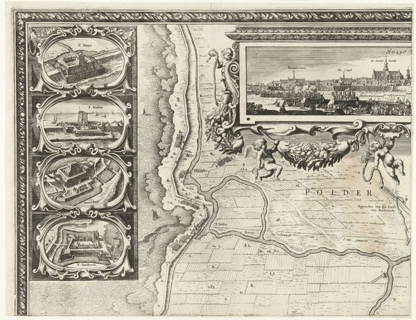
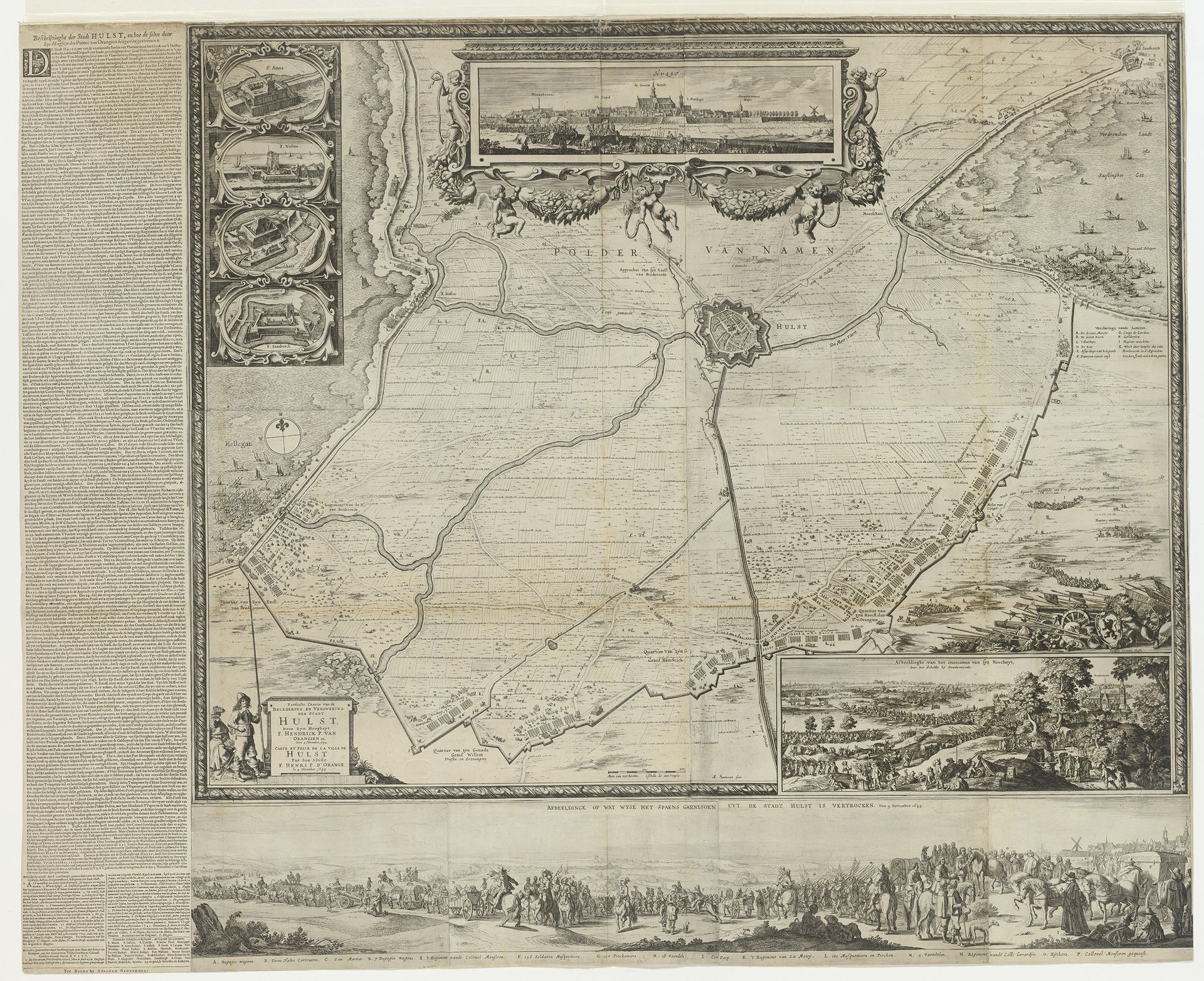
This is a print made by Abraham Dircksz Santvoort, commemorating the siege and capture of Hulst in 1645. The printmaking process, often involving etching or engraving on a metal plate, allowed for the mass production of images and the dissemination of information. The fine lines and details of the map underscore the engraver’s skill in translating a bird’s-eye view of Hulst and its surrounding landscape. This required careful planning and execution, indicative of a time when cartography was both a science and an art form. Such prints weren't just decorative; they were strategic tools used to communicate military successes and political power. The labor-intensive process of creating these prints contrasts sharply with the speed at which they could be distributed, influencing public perception and solidifying national identity. By considering the material and process, we gain insight into the complex relationship between art, politics, and society in 17th-century Netherlands.
Beleg en verovering van Hulst door Frederik Hendrik, 1645 1645 - 1646
Abraham Dircksz. Santvoort
1634 - 1669Location
RijksmuseumArtwork details
- Medium
- print, engraving
- Dimensions
- height 1004 mm, width 1237 mm
- Location
- Rijksmuseum
- Copyright
- Rijks Museum: Open Domain
Tags
landscape
cityscape
history-painting
engraving
Comments
No comments
About this artwork
This is a print made by Abraham Dircksz Santvoort, commemorating the siege and capture of Hulst in 1645. The printmaking process, often involving etching or engraving on a metal plate, allowed for the mass production of images and the dissemination of information. The fine lines and details of the map underscore the engraver’s skill in translating a bird’s-eye view of Hulst and its surrounding landscape. This required careful planning and execution, indicative of a time when cartography was both a science and an art form. Such prints weren't just decorative; they were strategic tools used to communicate military successes and political power. The labor-intensive process of creating these prints contrasts sharply with the speed at which they could be distributed, influencing public perception and solidifying national identity. By considering the material and process, we gain insight into the complex relationship between art, politics, and society in 17th-century Netherlands.
Comments
No comments