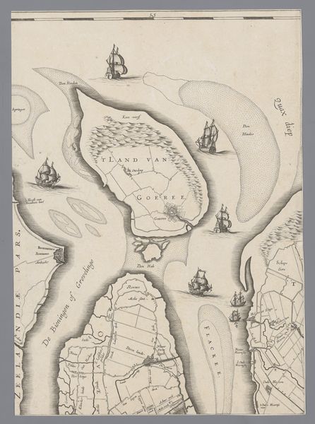
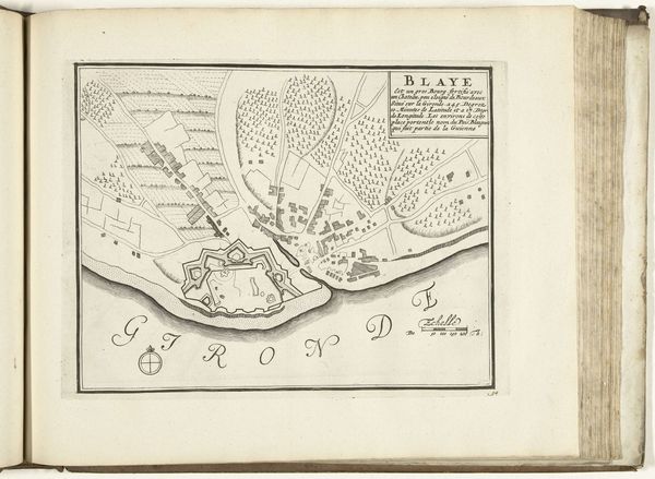
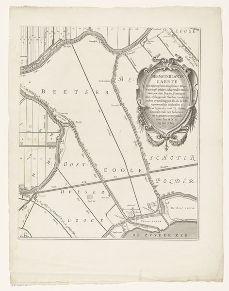
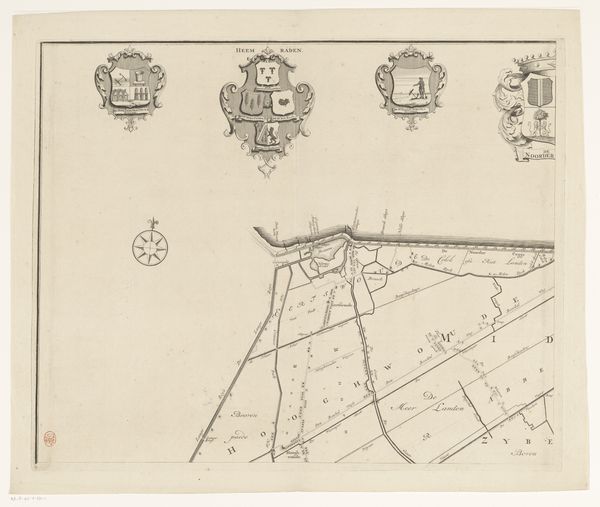
print, engraving
# print
#
old engraving style
#
landscape
#
river
#
line
#
history-painting
#
engraving
Dimensions: height 618 mm, width 402 mm
Copyright: Rijks Museum: Open Domain
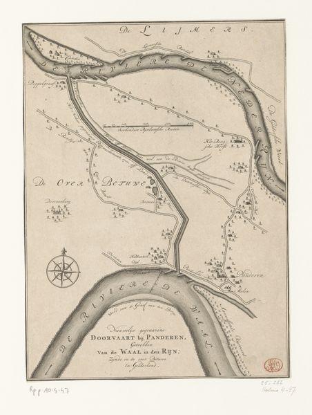
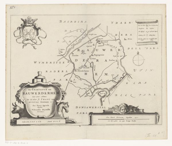
Editor: This is "Kaart van de rivier de Eem (tweede deel)," a 1692 print by Thomas Doesburgh, residing at the Rijksmuseum. It feels like looking into history, almost like a carefully preserved secret. I am especially intrigued by those elaborate crests at the top. What's the story this map tells? Curator: Oh, the poetry hidden within lines! This isn't just geography; it's a statement of power and lineage, my dear. The crests you noticed, those are family coats of arms, signaling ownership and influence over the lands depicted along the Eem river. Each swirl and symbol speaks of generations. Consider it a sort of... artistic boasting! Editor: Artistic boasting! I like that. But what about the map itself? How accurate would something like this have been back then? Curator: Accuracy was... subjective. Function often trumped precision. It was more about asserting claims, recording territories in a visual and legally sound manner. Imagine tracing your finger along those lines, each curve representing not just the river's flow, but the lives and stories interwoven with it. And what do you feel when you look at it now? Editor: Now? I feel a connection to the past, but also a slight… disconnect. It’s beautiful, but distant. Curator: Perhaps that distance is the very point, a reminder of how landscapes and power shift through time, always flowing like the Eem itself. Editor: It's definitely given me a new way to think about maps. They are way more than just directions. Curator: Precisely! A blend of art, power, and perhaps a little wishful thinking. A lovely reminder that history is not just about facts but stories that resonate through generations, in ink, on paper, still asking to be told, and felt, by us today.
Comments
No comments
Be the first to comment and join the conversation on the ultimate creative platform.
More like this