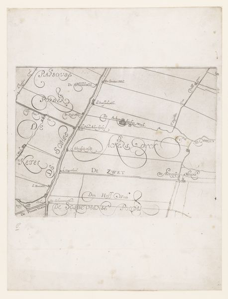
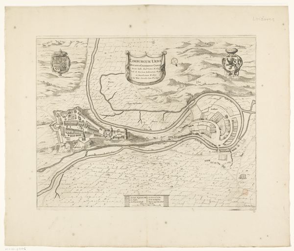
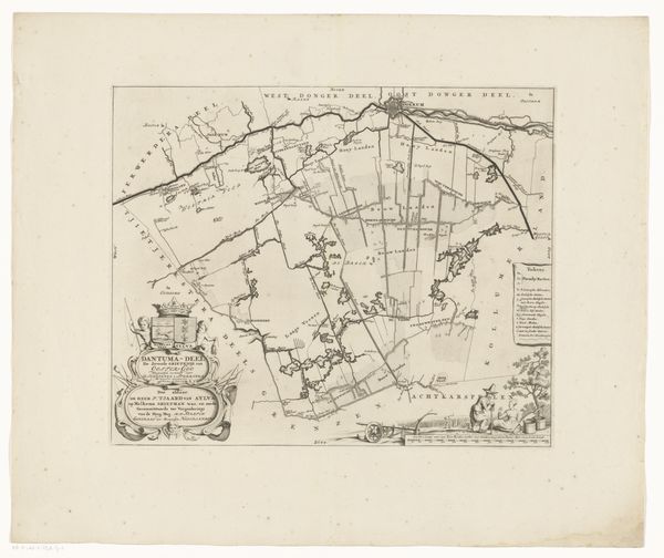
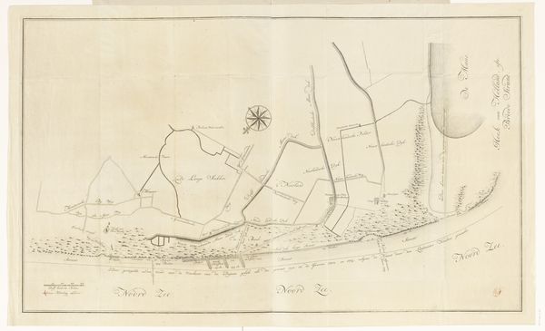
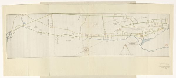
Kaart van het dijkgraafschap van de Vier Noorder Koggen (deel linksboven) 1731
0:00
0:00
hendrikdeleth
Rijksmuseum
print, engraving
#
dutch-golden-age
# print
#
landscape
#
engraving
Dimensions: height 480 mm, width 588 mm
Copyright: Rijks Museum: Open Domain
Hendrik de Leth created this section of a map of the Dijkgraafschap of the Vier Noorder Koggen, likely in the first half of the 18th century, using etching techniques. The map offers a glimpse into the intricate systems of land management and governance in the Netherlands during the Dutch Golden Age. This detailed cartography highlights not only geographical features but also the socio-political landscape of the time. The inclusion of heraldic symbols and names reflects the power and influence of the local authorities and landowners who shaped the region's development. The map can be viewed as a document of wealth and power but also of the labor that was required to maintain it. Consider the emotional investment in the land. The personal stakes and experiences of the individuals who lived and worked on this land are intertwined with the lines and symbols represented here. This map is not just a record of geographical space, but a testament to the complex relationship between people, power, and place.
Comments
No comments
Be the first to comment and join the conversation on the ultimate creative platform.
More like this