drawing, print, paper, ink, engraving
drawing
baroque
perspective
paper
ink
geometric
cityscape
engraving
Dimensions: height 200 mm, width 282 mm
Copyright: Rijks Museum: Open Domain
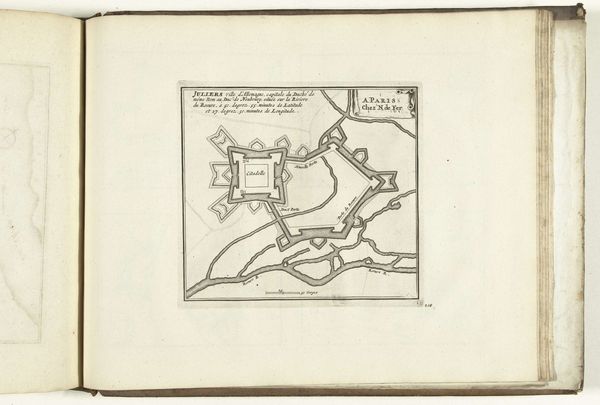
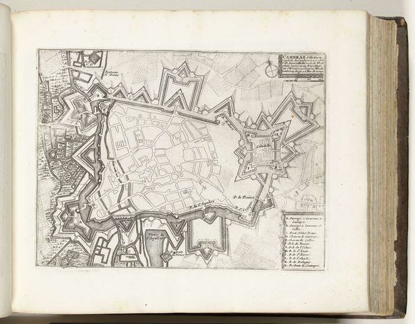
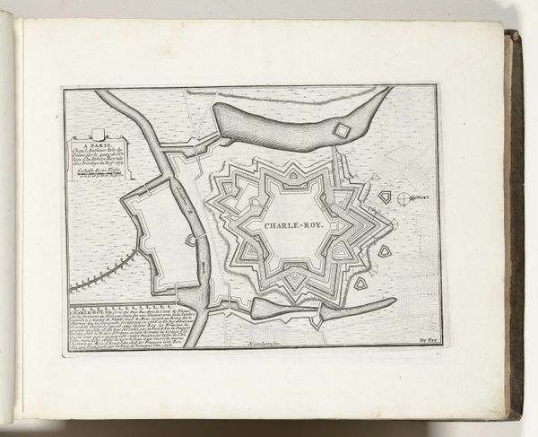
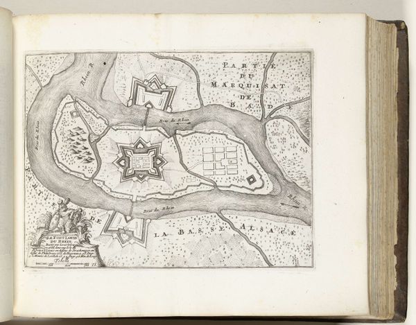
This is an anonymous etching from 1693, titled "Plattegrond van Huningue," depicting a detailed map of the fortified city of Huningue. Consider for a moment the context in which this map was created. In the late 17th century, maps were more than just navigational tools; they were instruments of power and control. This particular map provides us with insight into the military strategies and architectural planning of the time, reflecting the ongoing conflicts and territorial disputes in Europe. Huningue, situated on the border of France, Switzerland, and Germany, held strategic importance, making it a site of constant contestation. Reflect on how the map, with its precise lines and geometric shapes, embodies an attempt to impose order onto a landscape fraught with political tension. The star-shaped fortifications, designed to maximize defense capabilities, speak volumes about the anxieties and ambitions of the ruling powers. The emotional weight of this piece lies in its silent testimony to the human cost of territorial ambition, the lives shaped and disrupted by the ever-shifting boundaries of nations. This is not merely a map, but a historical document imbued with the complexities of identity, power, and place.
Comments
No comments
Be the first to comment and join the conversation on the ultimate creative platform.