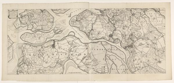
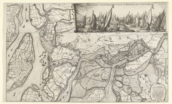
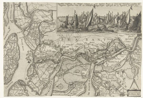
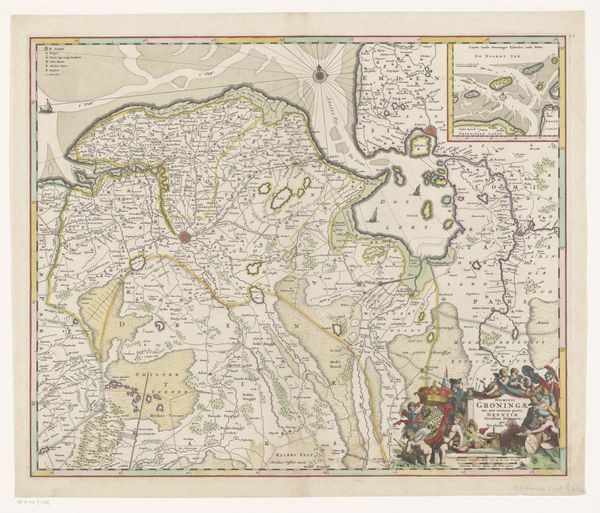
drawing, print, paper, ink, engraving
#
drawing
#
dutch-golden-age
# print
#
landscape
#
paper
#
ink
#
cityscape
#
genre-painting
#
history-painting
#
engraving
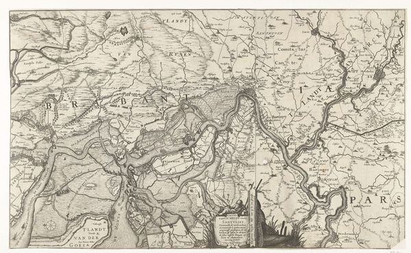
Dimensions: height 261 mm, width 374 mm
Copyright: Rijks Museum: Open Domain
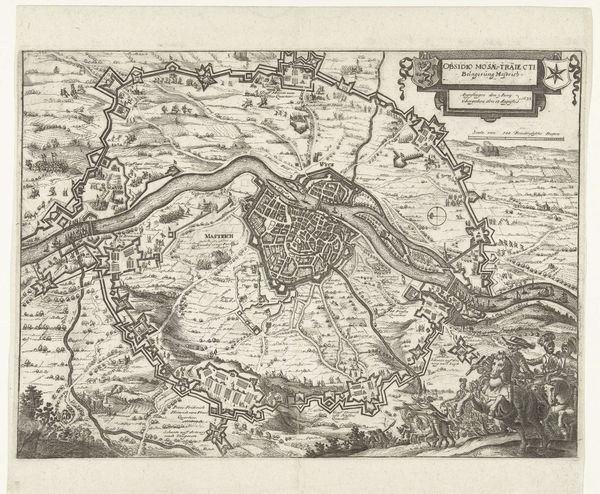
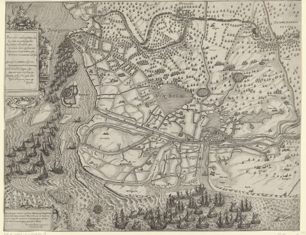
This is an anonymous map from 1625, depicting the siege of Breda. It offers a bird's-eye view of the landscape surrounding Breda during a pivotal moment in Dutch history. Maps weren't just about geography; they were powerful tools in the 17th century, projecting control and shaping narratives. This map reflects the cultural and political landscape of the Dutch Golden Age, a period marked by intense conflict with Spain, as well as burgeoning trade and scientific advancement. The detailed rendering speaks to the growing importance of cartography in military strategy and territorial claims. The map also subtly asserts Dutch dominance and its institutional ambitions during a period of intense competition. Historians would use sources like military records, personal letters, and other visual representations to understand the full story behind this siege. This map reminds us that even seemingly objective depictions of space are deeply embedded in social, political, and cultural contexts.
Comments
No comments
Be the first to comment and join the conversation on the ultimate creative platform.
More like this