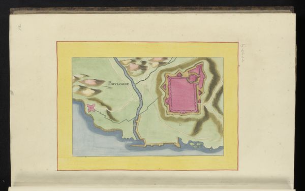
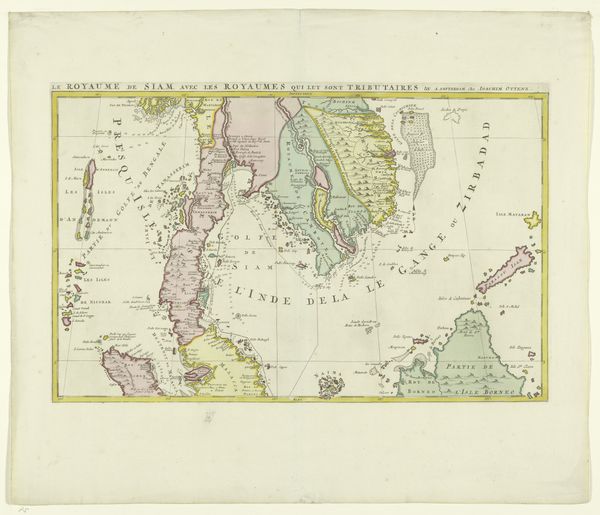
print, watercolor
# print
#
landscape
#
watercolor
#
watercolour illustration
Dimensions: height 105 mm, width 152 mm, height 532 mm, width 320 mm
Copyright: Rijks Museum: Open Domain
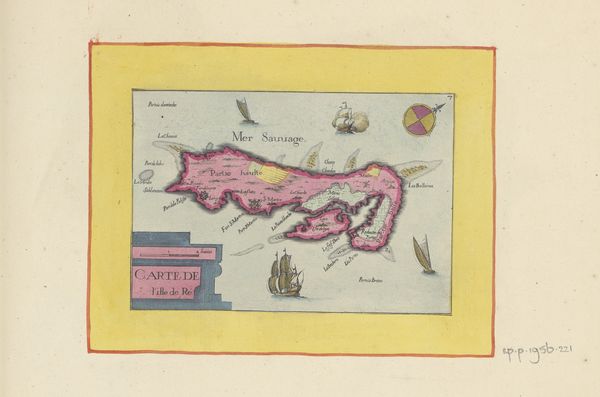
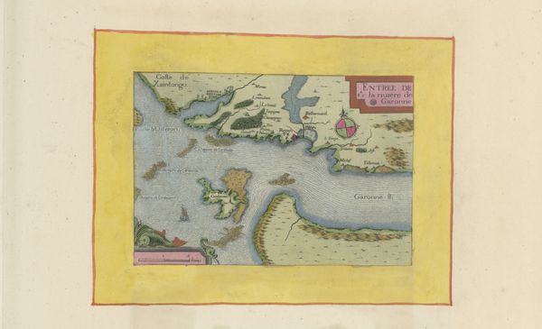
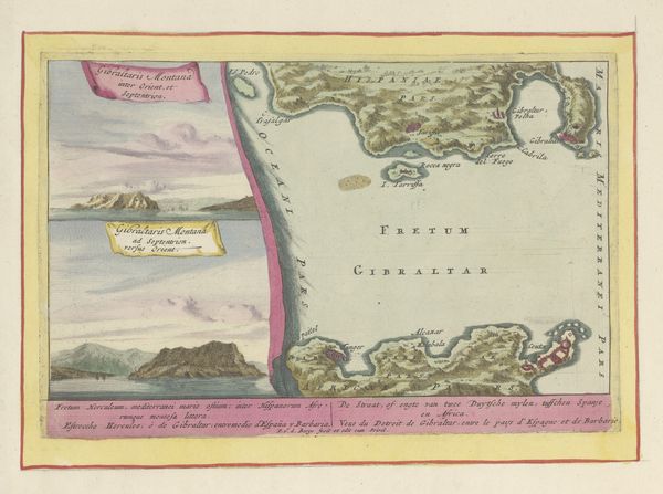
This map depicts the mouth of the Loire River, rendered with a focus on cartographic detail. The compass rose dominates the lower portion, a symbol deeply rooted in the human desire to navigate and understand our place within the cosmos. This emblem finds resonance across cultures, echoing the ancient mariner's quest for orientation. One might draw parallels to the magnetic needle of the Chinese geomancers, who sought harmony with the earth's energies. In medieval Europe, the compass became a symbol of divine guidance, leading sailors through treacherous waters. This yearning for direction taps into our collective memory, a subconscious desire to chart a course through life's uncertainties. Much like the mariner guided by the compass, we navigate our own personal landscapes, seeking clarity amidst the fog of existence. The compass is not just a tool, but a mirror reflecting our primal need to find our way.
Comments
No comments
Be the first to comment and join the conversation on the ultimate creative platform.
More like this