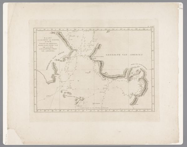
print, etching, engraving
# print
#
etching
#
etching
#
orientalism
#
islamic-art
#
history-painting
#
engraving
Dimensions: height 356 mm, width 554 mm
Copyright: Rijks Museum: Open Domain
This map of Siam, the upper half, was produced by Joachim Ottens in the late 17th or early 18th century. Cartography itself is a symbolic act, a way of imposing order and understanding on the world. Notice how the shapes of coastlines and rivers take on a life of their own. Consider the rivers: throughout history, waterways have been viewed as arteries of civilization, routes of trade and cultural exchange. But here, they represent not just physical paths, but also the flow of influence and power, each meander holding stories of human activity. Ottens’ rendering reflects the projection of European knowledge and power onto the East. The act of mapping distant lands transforms the unknown into something tangible, reshaping perceptions and solidifying claims. Yet, the map also hints at the limits of this knowledge, reminding us that understanding is always a constructed, evolving process.
Comments
No comments
Be the first to comment and join the conversation on the ultimate creative platform.
