graphic-art, print
#
graphic-art
# print
#
landscape
Dimensions: height 350 mm, width 415 mm
Copyright: Rijks Museum: Open Domain
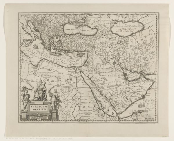
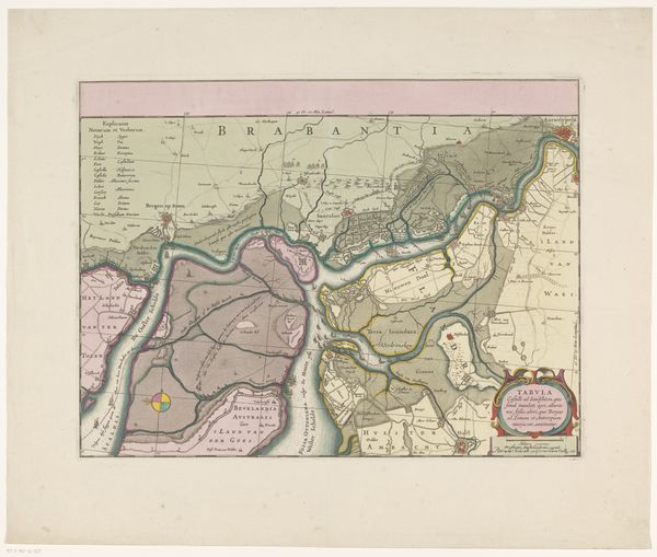
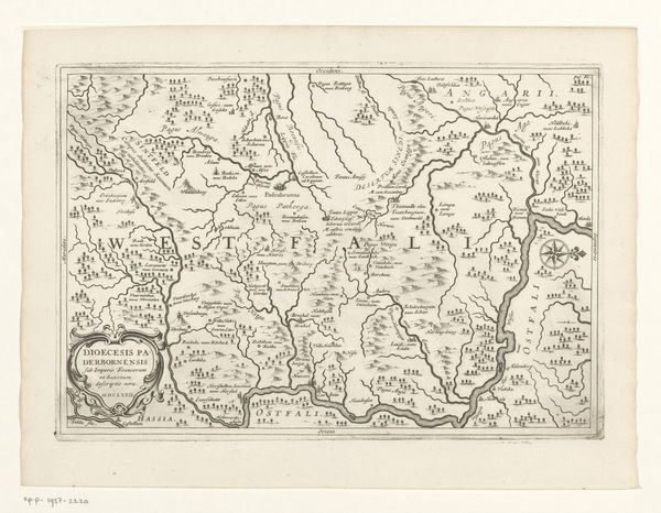
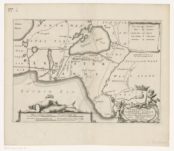
This is an anonymous map of the Todos os Santos Bay in Brazil. It’s a fascinating document that reveals the intertwined histories of cartography, colonialism, and commerce. Produced in the Netherlands, this map reflects the growing European interest in the Americas. It’s more than just a geographical tool, it’s a visual statement of territorial ambition. The Dutch, like other European powers, were keen to chart and exploit the resources of the so-called New World. The map creates meaning through its careful delineation of coastlines, rivers, and settlements, each a potential site for trade or military activity. The prominent display of the city of Salvador underscores its strategic importance as a port and administrative center. Historical societies and maritime archives offer invaluable insights into the map’s production and use. By studying these sources, we can better understand how maps like these shaped the course of global history, facilitating both exploration and exploitation.
Comments
No comments
Be the first to comment and join the conversation on the ultimate creative platform.
