print, engraving
#
baroque
# print
#
geometric
#
cityscape
#
engraving
Dimensions: height 413 mm, width 524 mm
Copyright: Rijks Museum: Open Domain
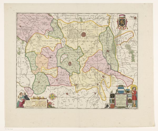
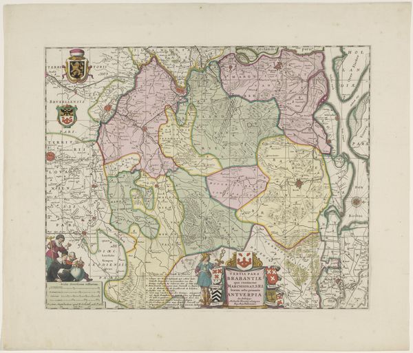
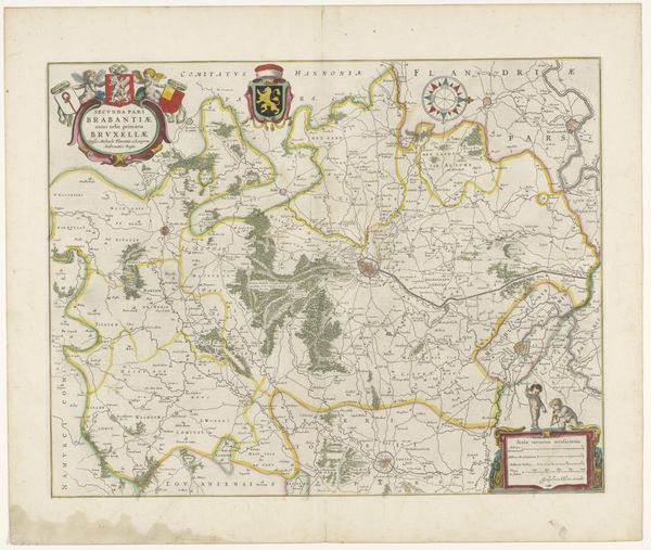
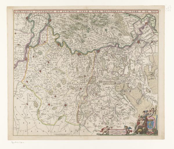
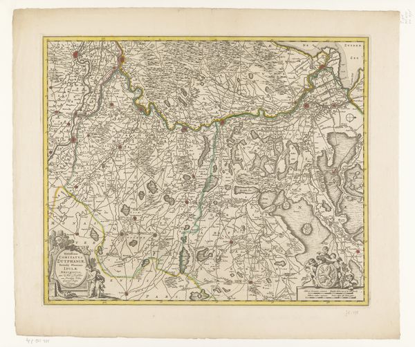
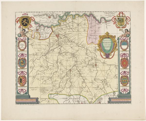
This is an anonymous map of the Leuven region in Brabant, and was made using engraving, a printing process prized for its precision and detail. The engraver would have used specialized tools called burins to carve lines into a copper plate. Ink was then applied to the plate, and the surface wiped clean, leaving ink only in the carved lines. Finally, paper was pressed against the plate to transfer the image. The dense network of lines used to depict terrain, roads, and settlements speaks to the skill and labor involved. The act of physically cutting into the metal plate would have been intensive, requiring a steady hand and deep knowledge of topography. Beyond its functional purpose, this map reflects a sophisticated understanding of design and visual communication. It demonstrates how the meticulous processes of engraving can transform a simple sheet of paper into a rich source of geographical and cultural knowledge, blurring the lines between craft, art, and industry.
Comments
No comments
Be the first to comment and join the conversation on the ultimate creative platform.
More like this