print, engraving
landscape
geometric
cityscape
engraving
Dimensions: height 231 mm, width 281 mm
Copyright: Rijks Museum: Open Domain
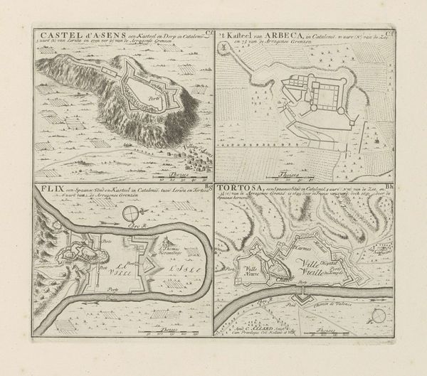
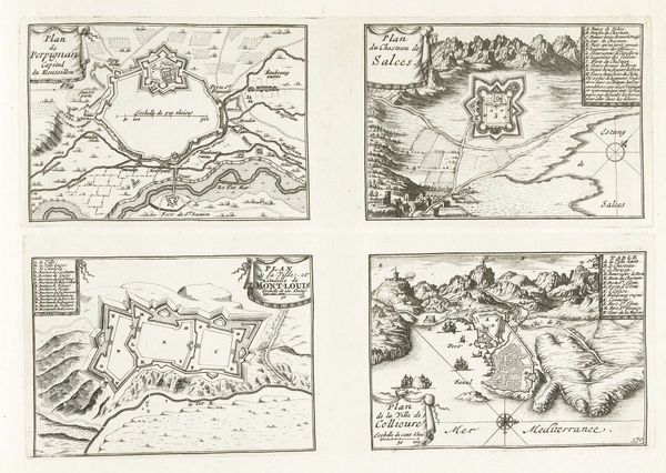
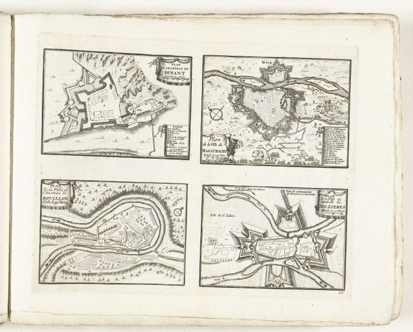
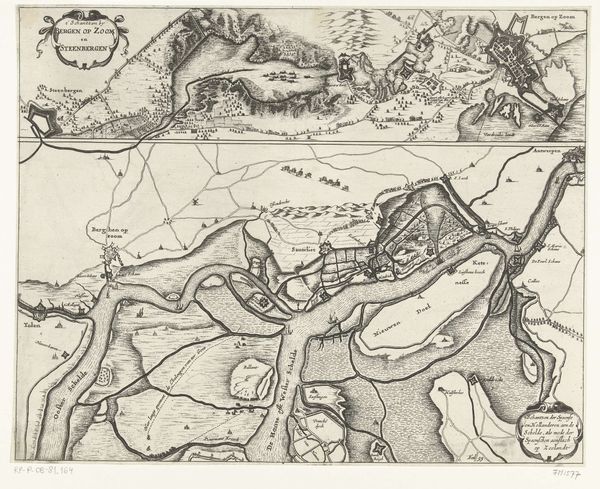
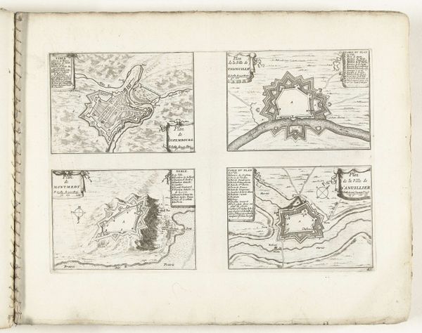
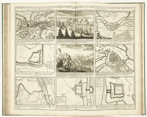
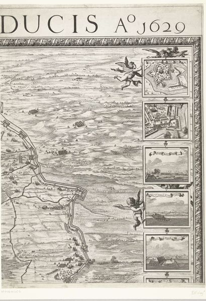
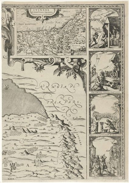
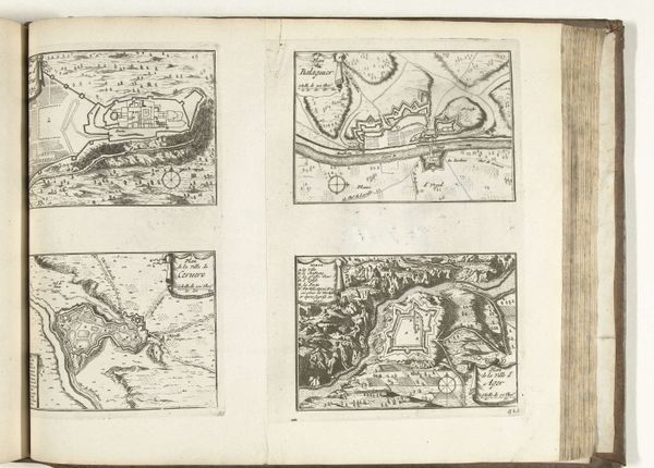
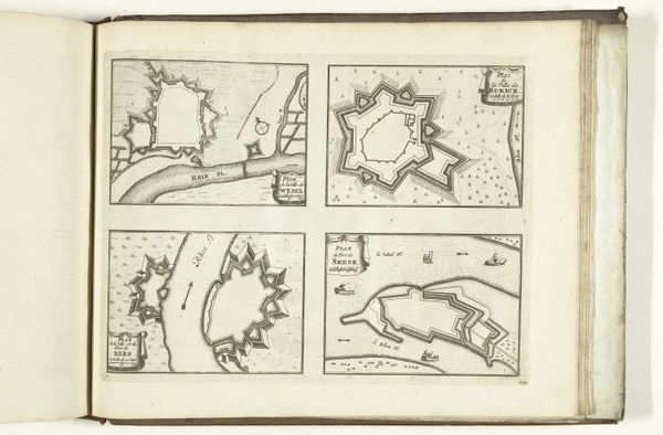
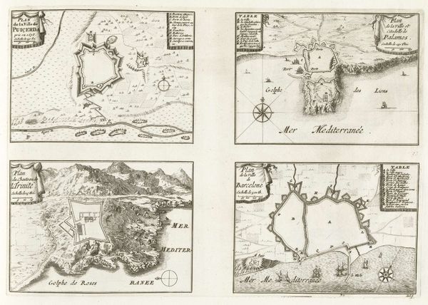
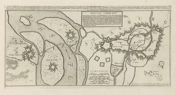
This engraving of Girona and other cities in Catalonia was created by Abraham Allard around the late 17th or early 18th century. At first glance, these maps appear to be purely functional, yet they are imbued with symbols that transcend mere cartography. Note the geometric precision of the fortifications. These shapes echo those found in Renaissance cityscapes, transforming the urban landscape into symbols of power, control, and defense. This motif isn't confined to Allard’s era; it's an ancient one, seen even in the defensive structures depicted in ancient Roman reliefs. The psychological impact of these fortified images is profound, instilling both confidence and fear. This duality is a powerful undercurrent throughout art history, revealing our complex relationship with security and vulnerability. The act of mapping itself becomes a means of psychologically mastering the territory. This is a cyclical motif: control and fear. The evolution of this symbolic language reminds us that the past is never truly gone. It resurfaces, transformed, in our present perceptions.
Comments
No comments
Be the first to comment and join the conversation on the ultimate creative platform.