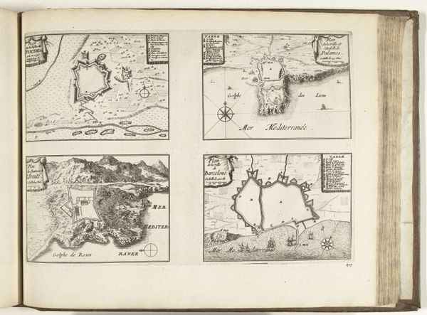
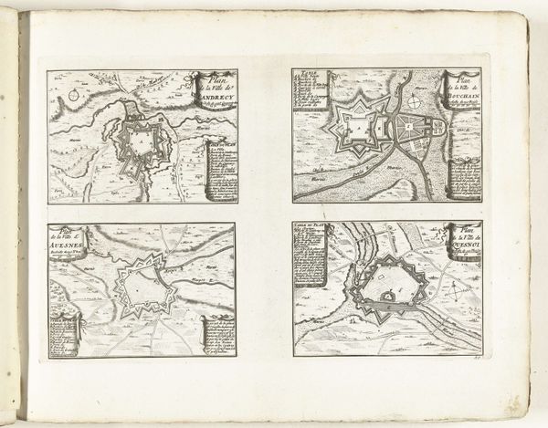
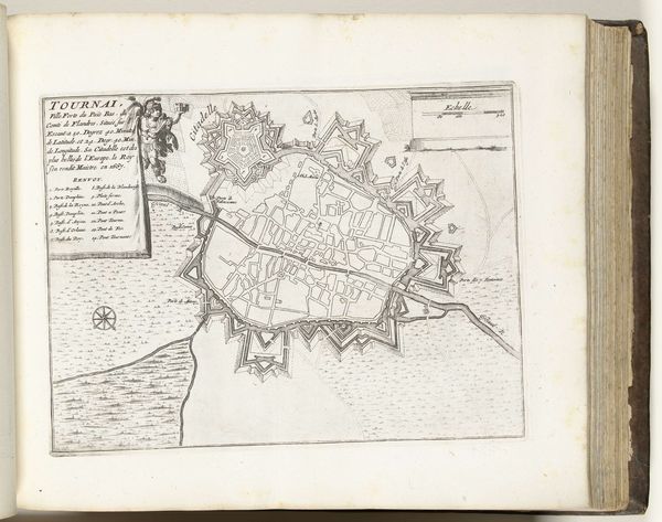
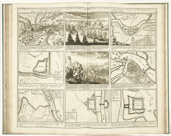
drawing, paper, ink, engraving
#
drawing
#
baroque
#
paper
#
ink
#
geometric
#
cityscape
#
engraving
Dimensions: height 250 mm, width 330 mm
Copyright: Rijks Museum: Open Domain
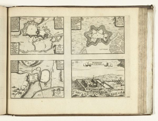
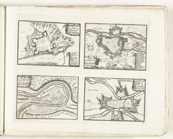
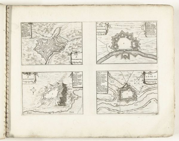
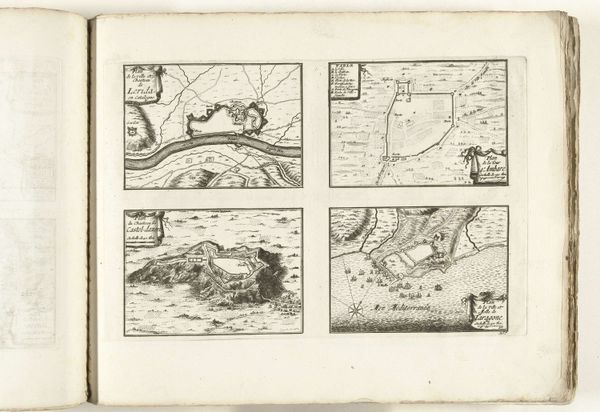
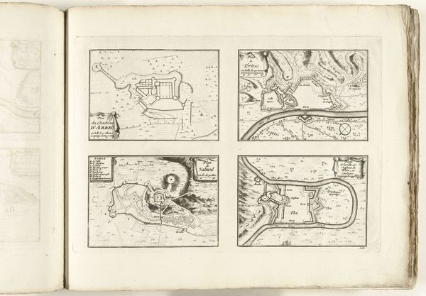
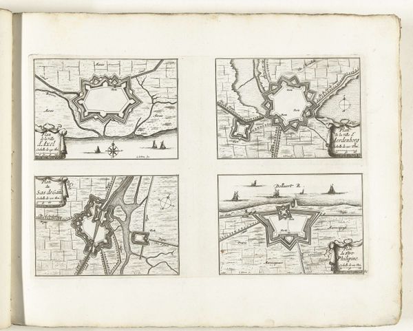
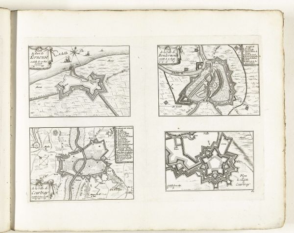
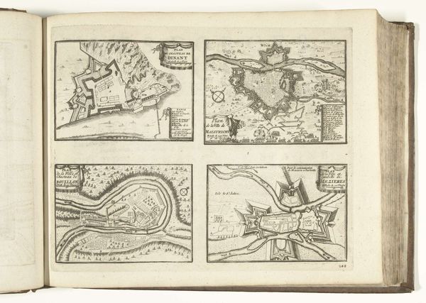
Editor: Here we have "Plattegronden van Wesel, Burick, Rees en Schenckenschans," a 1726 drawing made with ink and engraving on paper, currently held at the Rijksmuseum. The arrangement of these four fortress maps is quite striking, almost like a board game design. What cultural significance do you think these layouts would have carried? Curator: These aren’t merely maps; they are potent symbols of power and security, visual declarations etched onto the landscape, reflecting baroque obsession with order and control. Note the geometric precision; the star shapes aren't arbitrary. Each point represents a bastion, carefully calculated to deflect cannon fire. They represent the memory of conflicts, anxieties, but also the desire for safety. Look at how each city plan is connected to the river. Water was key to trade and transport. Does it occur to you that these fortresses, guarding waterways, controlled movement and commerce? Editor: That’s fascinating! So, it's not just about military defense, but also about economic influence. Were these types of images commonly disseminated? Curator: Precisely. Images like these were tools of propaganda and psychological warfare. They project the strength and impregnability of the Dutch Republic, fostering national identity and projecting authority onto its rivals. The detailed engraving itself elevates these plans to more than just practical tools for military strategy; they function almost as talismans, instilling confidence in those who held them and perhaps fear in those who didn’t. What do you suppose ordinary people seeing them for the first time might have felt? Editor: I imagine a sense of security, perhaps pride. Seeing the power visualized must have been impactful. I now look at them differently, beyond the geometrical aesthetic. Curator: Indeed, these aren't just lines on paper, they're echoes of a culture grappling with power, protection and legacy. Editor: I never considered city plans carrying that weight, thanks to your explanation!
Comments
No comments
Be the first to comment and join the conversation on the ultimate creative platform.
More like this