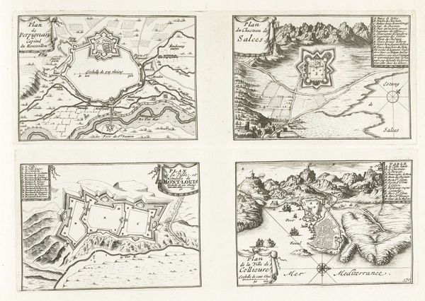
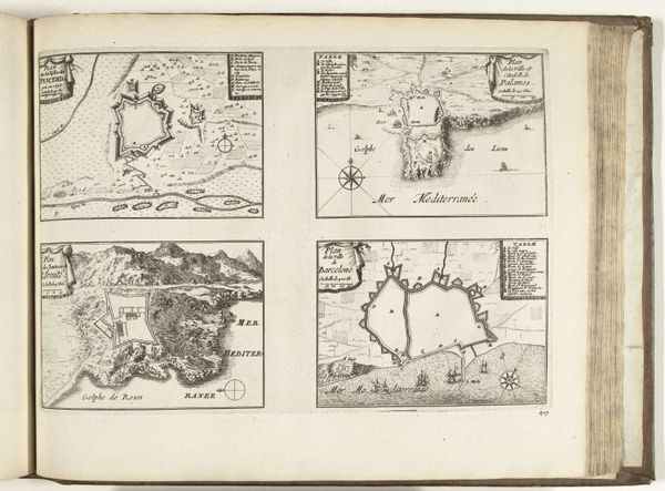
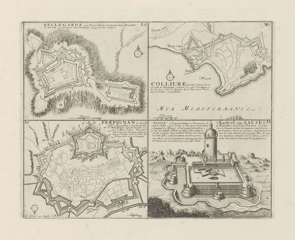
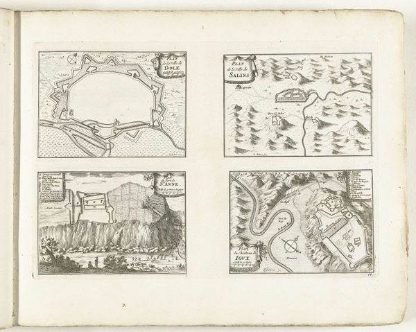
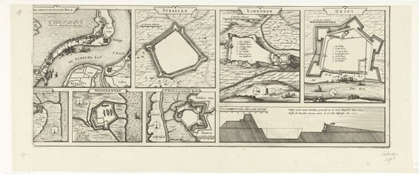
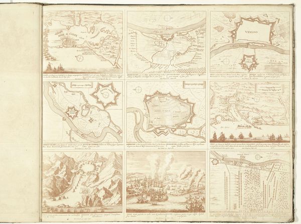
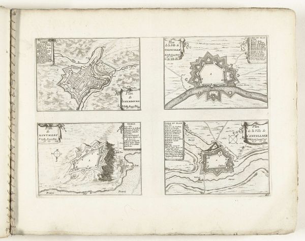
Plattegronden van Puigcerdá, Palamos, Château de la Trinité en Barcelona, ca. 1702 1702 - 1703
anonymous
Rijksmuseum
drawing, print, paper, ink, pen, engraving
drawing
baroque
pen sketch
landscape
paper
ink
geometric
pen
cityscape
engraving
Dimensions: height 237 mm, width 340 mm
Copyright: Rijks Museum: Open Domain
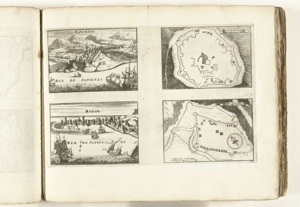
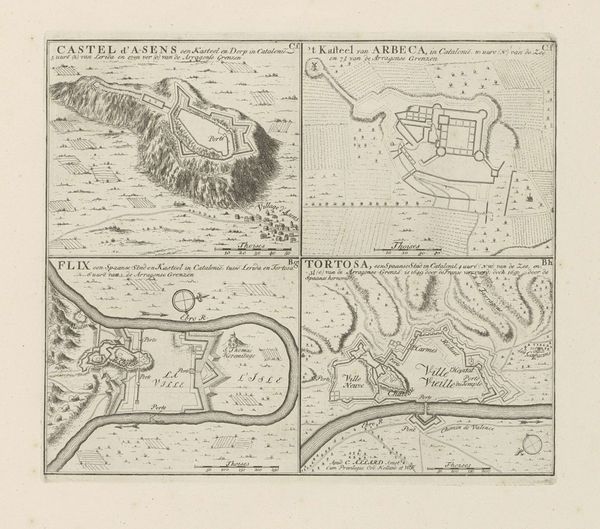
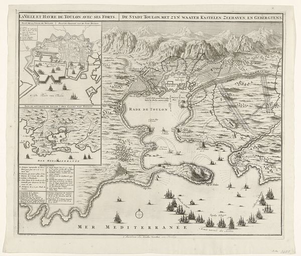
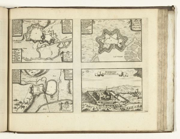
Editor: So, this is "Plattegronden van Puigcerdá, Palamos, Château de la Trinité en Barcelona" from around 1702, an anonymous work from the Rijksmuseum, done in pen and ink. It's a series of maps, and something about the precision of the lines against the backdrop of old-world cartography really strikes me. It's technical, but it also has an artistic quality. What captures your eye in this piece? Curator: You know, these weren’t just pretty pictures; they were strategic tools. Imagine those old fortifications, carefully rendered, designed to project power. Each line and angle dictated by military intention. The anonymous artist becomes, in some ways, a silent strategist, visualizing geopolitical aspirations. Have you ever thought about maps as a form of silent warfare, an assertion of control through representation? Editor: That's fascinating, I hadn't considered that. The level of detail is amazing. Is that typical for maps of this period? Curator: The Baroque loved detail, drama, and grand statements. These maps are very Baroque in their intent. What I mean is not just geographical accuracy, but they serve a sense of possession. Look how the coastlines are almost embraced by the detailed lines. Editor: So, it's not just about showing where things are, but claiming them visually? Curator: Exactly! Consider that "Château de la Trinité," nestled against dramatic mountains. It’s not just a fortress, but a visual statement of dominion over a landscape, almost romantic in its possessiveness. Does it make you see maps in a different light now? Editor: Absolutely! I never considered the power dynamics embedded in something that seems so factual. Now I see stories of ambition and control just etched into these coastlines. Curator: And that, my friend, is how a seemingly straightforward map transforms into a profound piece of historical commentary. I love when art can reveal a hidden perspective!
Comments
No comments
Be the first to comment and join the conversation on the ultimate creative platform.