drawing, print, ink, engraving
#
pen and ink
#
drawing
#
medieval
#
pen drawing
#
mechanical pen drawing
# print
#
pen illustration
#
old engraving style
#
landscape
#
ink
#
line
#
islamic-art
#
history-painting
#
engraving
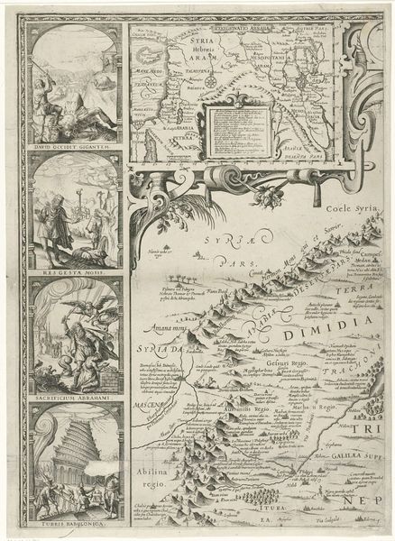
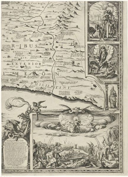
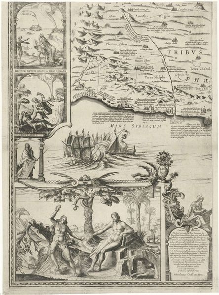
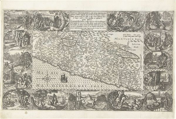
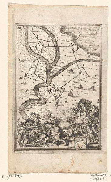
Dimensions: width 385 mm, height 548 mm
Copyright: Rijks Museum: Open Domain
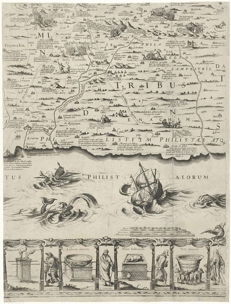
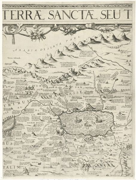
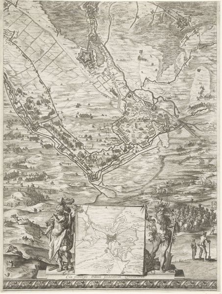
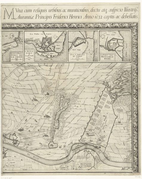
Editor: This is "Kaart van Palestina," or "Map of Palestine," created in 1621 by Nicolaes van Geelkercken. It’s a pen and ink drawing, essentially a print or engraving. It gives off a really intricate, almost dreamlike feeling… a bit like staring into a really old, beautifully illustrated book. What jumps out at you when you look at this piece? Curator: Ah, yes, a visual poem of faith and land! I see echoes of scholastic wanderings, those intrepid monks tracing routes of pilgrimage in their minds’ eyes, charting the known world with a heart full of scripture. It's like looking into a memory, slightly faded, yet intensely alive with symbolic geography. And what a contrast—crisp cartography alongside these emotive biblical vignettes. It makes me wonder: Was this a map for navigation, or something closer to a devotional object? Editor: A devotional object, that's an interesting way to frame it! So, the geographical accuracy was perhaps secondary to its symbolic value? Curator: Precisely! Look closely – see how the scenes from Christ’s life almost…frame… the land? They weave faith into the very fabric of this place. Think of it: Palestine wasn’t just a place ‘over there’… it was alive inside people’s faith, dreams and imaginations. Like having a piece of the Holy Land, right here. Gives you chills, doesn’t it? Editor: Definitely, I can see it now. So it's less about practical use and more about experiencing Palestine through the lens of faith... it's a storybook and a map all rolled into one. Thanks, I totally see it in a new light now. Curator: Exactly! Art’s like that, isn't it? Each viewing’s another layer revealed... like uncovering whispers from long ago, mixed with our own understanding. A collaboration across centuries. Delicious, isn't it?
Comments
No comments
Be the first to comment and join the conversation on the ultimate creative platform.
More like this