drawing, print, paper, ink, engraving
#
drawing
#
medieval
# print
#
landscape
#
paper
#
ink
#
geometric
#
engraving
Dimensions: height 300 mm, width 390 mm
Copyright: Rijks Museum: Open Domain
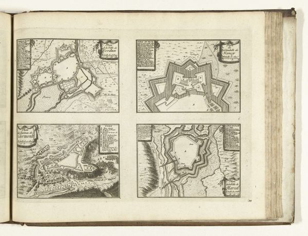
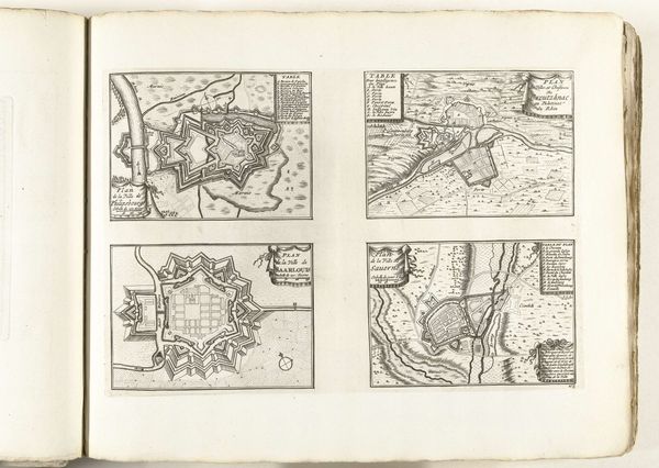
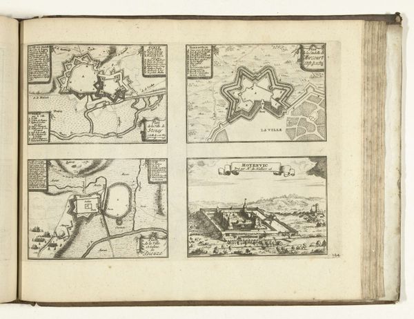
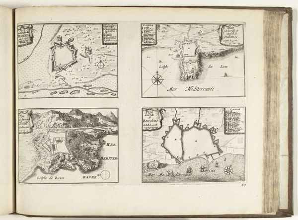
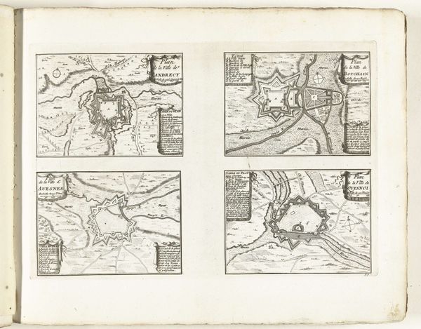
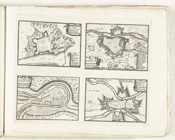
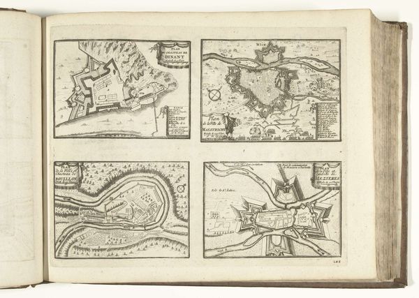
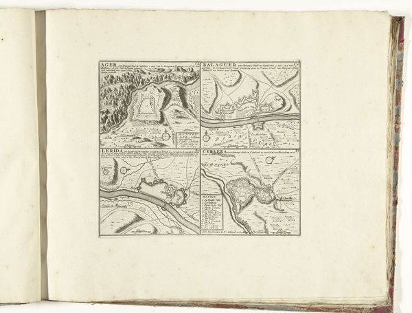
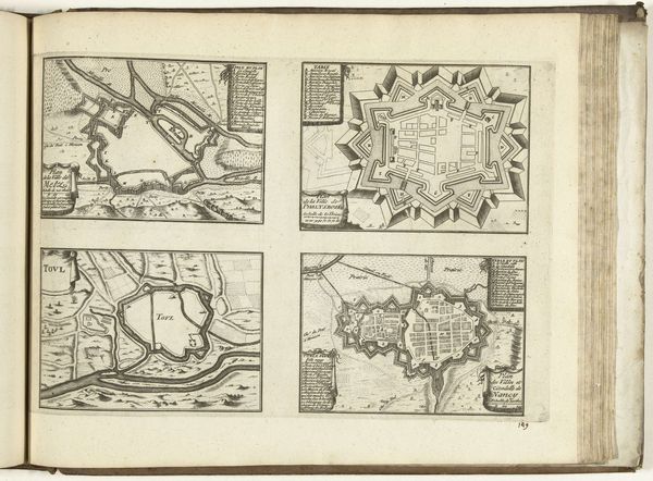
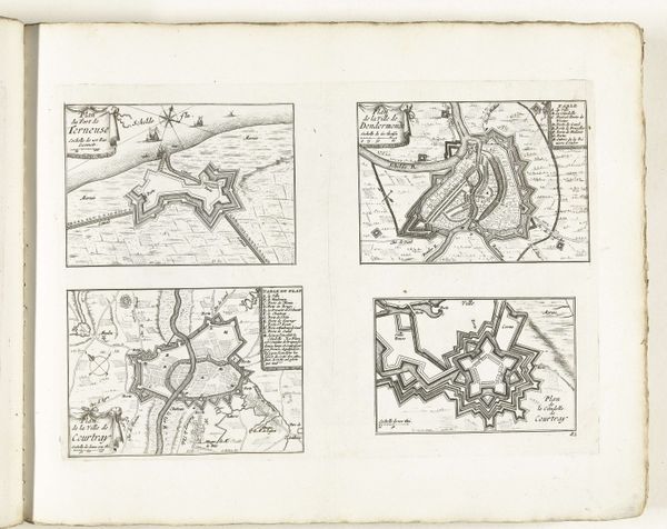
This unbound set of maps depicting four locations in Catalonia was made in 1726 by an anonymous artist. These maps, rendered with careful detail, are more than just geographic representations; they speak to the military and political strategies of the early 18th century. Catalonia, a region with a distinct cultural identity, was a contested territory between Spain and France. These maps, with their emphasis on fortifications and strategic locations, reflect the intense power struggles that defined the era. The visual codes, from the rendering of topography to the depiction of military structures, reveal a keen interest in military intelligence. What stories do these maps tell about the ongoing conflicts and the ever-shifting boundaries? How did political events shape this artistic production? To fully understand these maps, we might delve into military archives, scrutinize period documents, and examine the cartographic conventions of the time. Through this interdisciplinary approach, we recognize that these are not neutral depictions; they are tools of power, shaped by political agendas, serving a crucial purpose.
Comments
No comments
Be the first to comment and join the conversation on the ultimate creative platform.
More like this