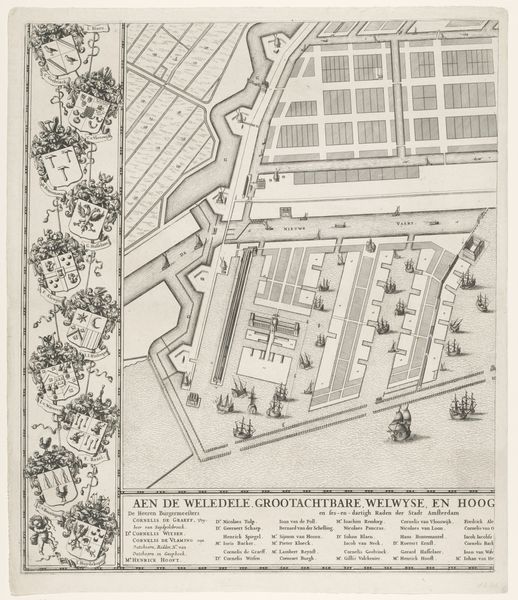
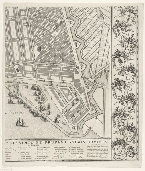
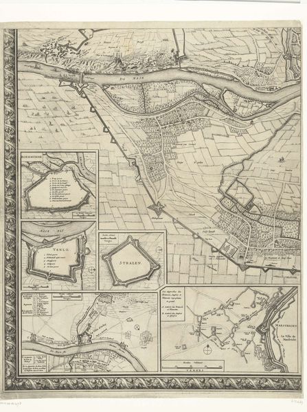
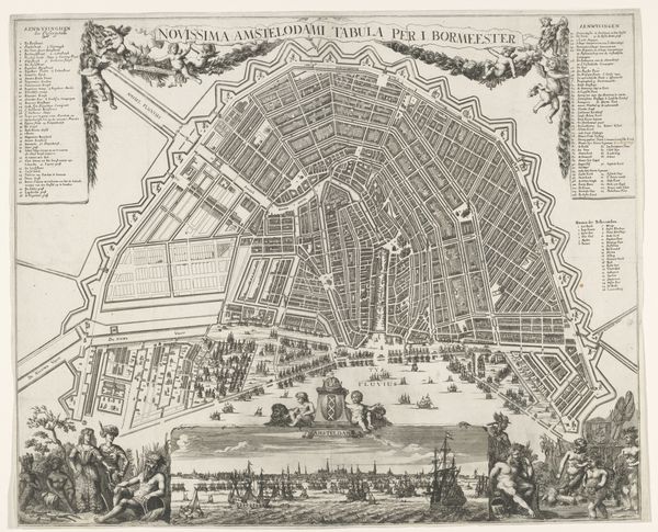
Plattegrond van Amsterdam met ontwerp en uitvoering van de Vierde Uitleg (vijfde deel) Possibly 1663 - 1774
0:00
0:00
drawing, print, engraving, architecture
#
drawing
#
dutch-golden-age
# print
#
cityscape
#
engraving
#
architecture
Dimensions: height 625 mm, width 549 mm
Copyright: Rijks Museum: Open Domain
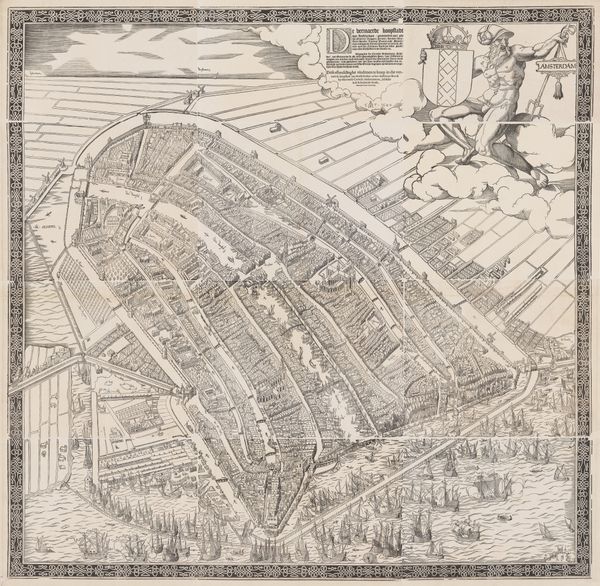
This is Julius Mülhüssen’s “Plattegrond van Amsterdam met ontwerp en uitvoering van de Vierde Uitleg (vijfde deel),” a plan of Amsterdam made some time in the mid-17th century. It's a bird’s eye view, looking north across the harbor, with the city laid out in careful detail. The map commemorates the Fourth Expansion plan. It's important to understand the Amsterdam of this era. The Dutch Republic was a major maritime power, with a vast trade network reaching around the globe. Amsterdam was at the center of this, an entrepôt for goods from across Europe and the world. Mülhüssen’s map testifies to the confidence and global ambitions of Amsterdam, a wealthy city managed by a sophisticated mercantile elite. It's a fascinating document of institutional history and the social conditions of its time. Historical cartography is a complex field, and scholars use a variety of resources, from city archives to maritime records, to reconstruct the world as it was seen in the past. This is not just a picture, but a piece of social history.
Comments
No comments
Be the first to comment and join the conversation on the ultimate creative platform.
More like this