drawing, print, ink, engraving
#
drawing
#
dutch-golden-age
# print
#
ink
#
cityscape
#
history-painting
#
engraving
#
realism
Dimensions: height 510 mm, width 588 mm
Copyright: Rijks Museum: Open Domain
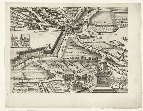
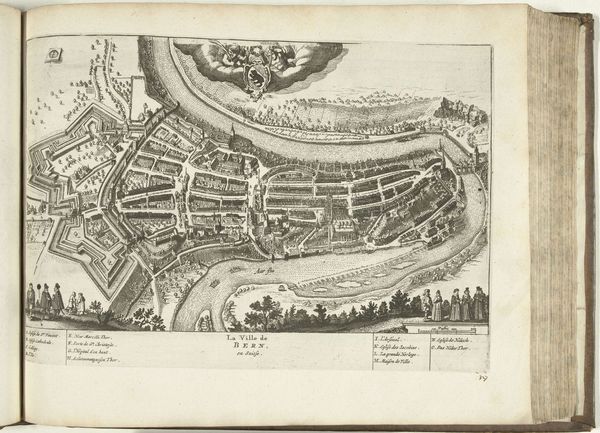
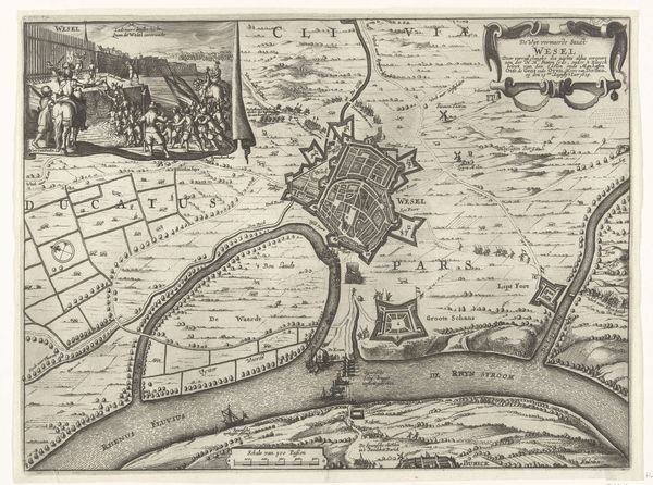
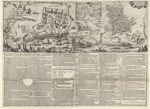
This is a print depicting Egmond aan Zee with protective structures, made in 1718. The image was made using etching, a process that involves coating a metal plate with a waxy, acid-resistant material, drawing through the coating to expose the metal, and then immersing the plate in acid. The acid bites into the exposed lines, creating grooves that hold ink. The technique is important here, because of its reproducibility. Etching allowed for the widespread distribution of images, contributing to the growth of visual culture and the dissemination of knowledge. The precise lines speak to the emphasis placed on accuracy, reflecting the needs of trade, navigation, and military planning during the early 18th century. Notice the sheer amount of labor that went into making this map. It highlights the importance of cartography, and how the skills of surveyors, engravers, and printers were essential to expanding the reach of Dutch maritime and mercantile power. This etching is not just a picture; it's a testament to human ingenuity and the relentless pursuit of knowledge.
Comments
No comments
Be the first to comment and join the conversation on the ultimate creative platform.
More like this