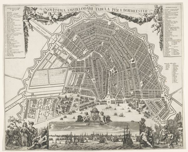
Plattegrond van Amsterdam met ontwerp en uitvoering van de Vierde Uitleg (zesde deel) Possibly 1663 - 1774
0:00
0:00
drawing, print, paper, ink
#
architectural sketch
#
drawing
#
aged paper
#
dutch-golden-age
#
mechanical pen drawing
# print
#
old engraving style
#
paper
#
linework heavy
#
ink
#
sketchwork
#
geometric
#
pen-ink sketch
#
thin linework
#
pen work
#
cityscape
#
storyboard and sketchbook work
Dimensions: height 624 mm, width 535 mm
Copyright: Rijks Museum: Open Domain
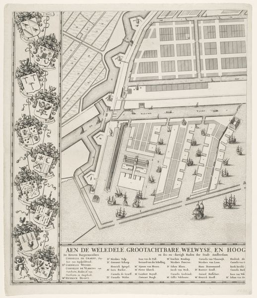
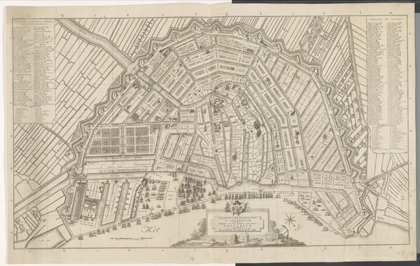
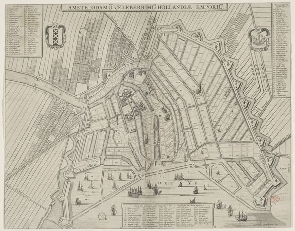
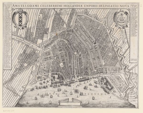
Julius Mülhüssen created this map of Amsterdam, "Plattegrond van Amsterdam met ontwerp en uitvoering van de Vierde Uitleg (zesde deel)," during a period of significant expansion and transformation for the city. Amsterdam in the 17th century was a global center for trade, and this map offers insight into the spatial strategies employed to manage its growth. The grid-like layout and the inclusion of fortifications speak to the values of order, control, and defense that were prioritized in urban planning. This expansion reflects the economic prosperity of the Dutch Golden Age, a time marked by colonial ventures, wealth accumulation, and social stratification. Consider how the expansion of the city would have impacted different communities. The creation of new canals and neighborhoods undoubtedly displaced some while creating opportunities for others, mirroring the complex power dynamics inherent in urban development. The names listed alongside the map hints at the governing elites who shaped Amsterdam’s physical and social landscape. Ultimately, Mülhüssen’s map is a document of ambition, power, and transformation and is a reminder of the lived experiences embedded in the cartographic representations of our world.
Comments
No comments
Be the first to comment and join the conversation on the ultimate creative platform.
More like this