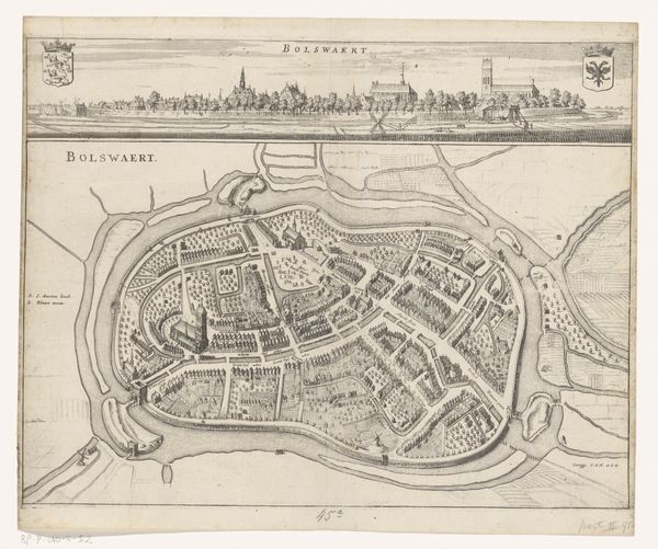
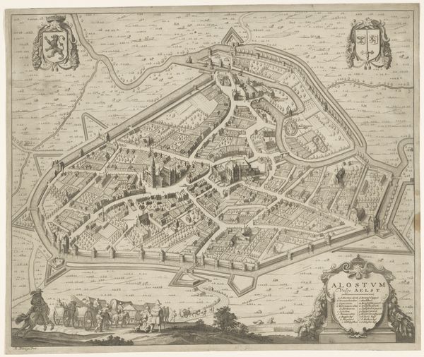
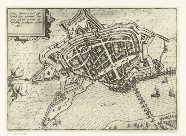
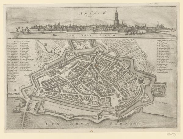
print, etching
baroque
etching
landscape
etching
cityscape
Dimensions: height 271 mm, width 329 mm
Copyright: Rijks Museum: Open Domain
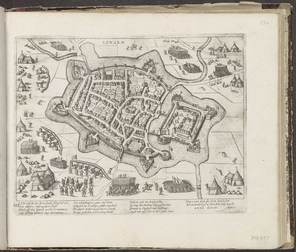
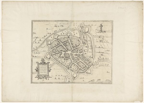
This map of Kassel was made by Matthäus Merian, sometime in the 17th century. It's an engraving, meaning that the image was incised into a metal plate, inked, and then printed onto paper. Now, you might ask, what does this have to do with craft? Well, engraving was a highly skilled profession, requiring years of training. The engraver had to master the use of specialized tools to create precise lines and details. If you look closely, you can see how Merian has used different types of lines to create a sense of depth and texture. The buildings are rendered in meticulous detail, and the landscape is carefully delineated. The amount of work that goes into a single print like this is immense, and of course, the final result could be reproduced many times over. This connects to larger issues of labor and commerce. Prints like this were in high demand, and they played an important role in the dissemination of knowledge and information, a sort of early version of digital media. So, while the process itself was highly skilled, the end result was a commodity, available to a wide audience. This blurring of the lines between art, craft, and commerce is something to consider when you look at any work of art.
Comments
No comments
Be the first to comment and join the conversation on the ultimate creative platform.