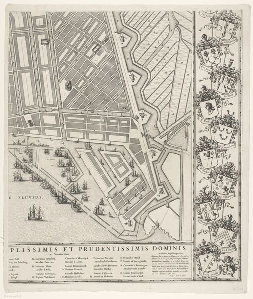
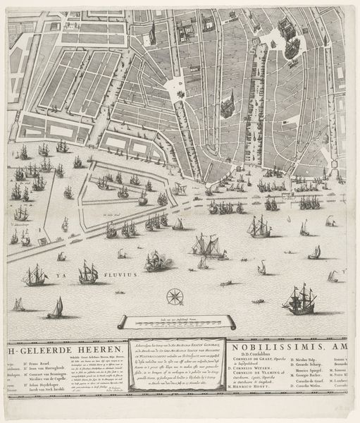
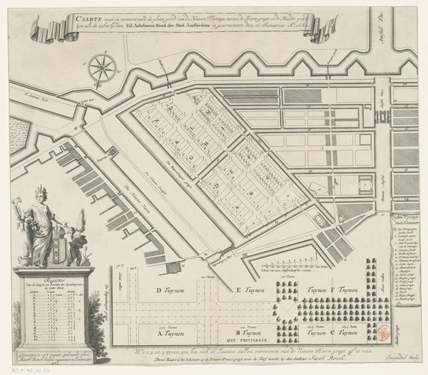
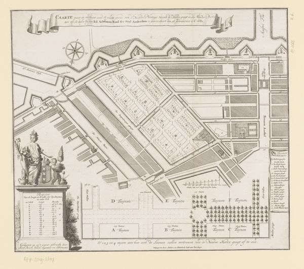
Plattegrond van Amsterdam met ontwerp en uitvoering van de Vierde Uitleg (vierde deel) Possibly 1663 - 1774
0:00
0:00
drawing, print, engraving, architecture
#
architectural sketch
#
drawing
#
aged paper
#
mechanical pen drawing
# print
#
old engraving style
#
architectural section drawing
#
architectural drawing
#
pen work
#
architecture drawing
#
architectural proposal
#
cityscape
#
storyboard and sketchbook work
#
engraving
#
architecture
Dimensions: height 623 mm, width 534 mm
Copyright: Rijks Museum: Open Domain
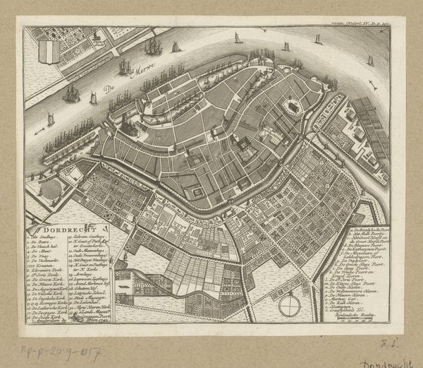
Julius Mülhüssen created this plan of Amsterdam with engraving around the mid-17th century. At first glance, the arrangement of dense lines articulates a structured space where water canals and built structures interact. This creates a pattern dominated by a grid-like expansion. The precision of the lines and the arrangement of the map reveal an effort to formalize and rationalize urban space. The sharp angles and rigid geometry could be seen as a visual parallel to the social structures of the time. Semiotically, water and land intersect to form a network of power and control, reflecting contemporary concerns with trade, expansion, and social order. Consider the visual order in this engraving as more than just a geographical tool. It reflects broader philosophical and societal trends, capturing a moment of transformation in the city’s development. It invites us to decode Amsterdam’s urban structure.
Comments
No comments
Be the first to comment and join the conversation on the ultimate creative platform.
More like this