print, engraving
# print
#
geometric
#
cityscape
#
engraving
Dimensions: height 170 mm, width 220 mm
Copyright: Rijks Museum: Open Domain
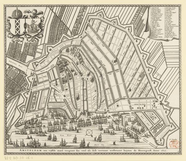
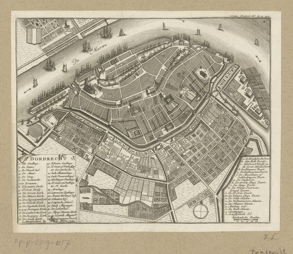
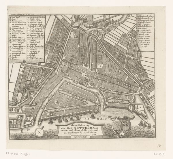
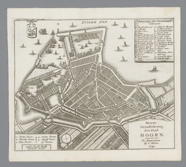
This is an anonymous map of Amsterdam, made in 1612, that was printed on paper. The bird’s eye view gives us a detailed look at the city's layout, which was in a period of rapid expansion. We see Amsterdam not just as a physical space, but as a reflection of the social and economic forces that shaped it. The neatly planned canals, for example, weren't just for transportation. They were also a symbol of the city's rational approach to urban planning. The map also shows us the city's defenses, with its walls and moats, reflecting Amsterdam's position as a major player in international trade and politics. Note the many ships. To truly understand this map, we can turn to historical records, urban plans, and economic data from the period. This helps us to understand the intersection of art, history, and society, revealing the complex ways in which images shape our understanding of the world.
Comments
No comments
Be the first to comment and join the conversation on the ultimate creative platform.
More like this