print, engraving, architecture
dutch-golden-age
old engraving style
cityscape
history-painting
engraving
architecture
Dimensions: height 580 mm, width 465 mm
Copyright: Rijks Museum: Open Domain
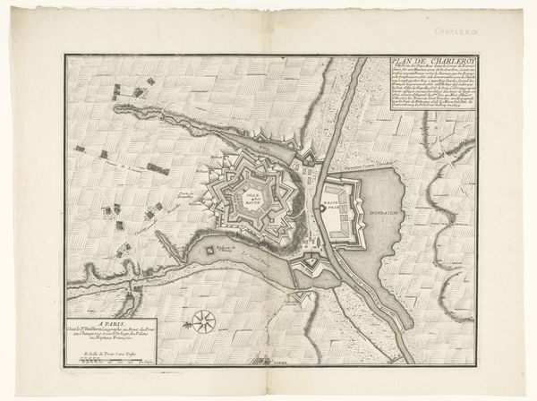
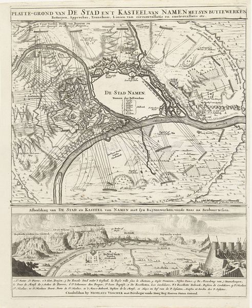
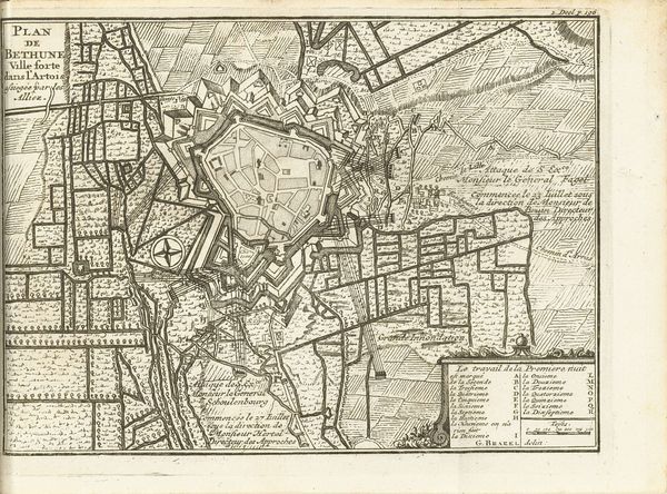
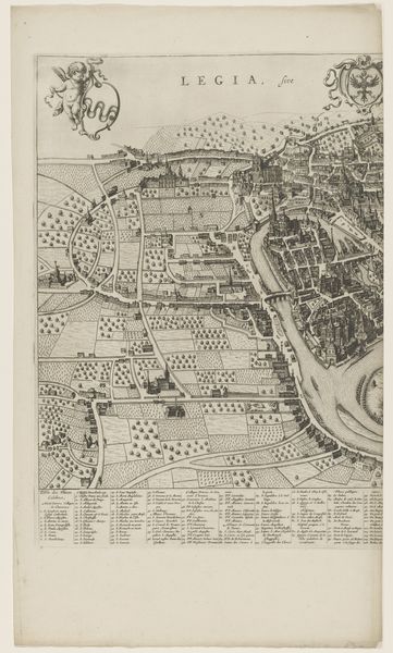
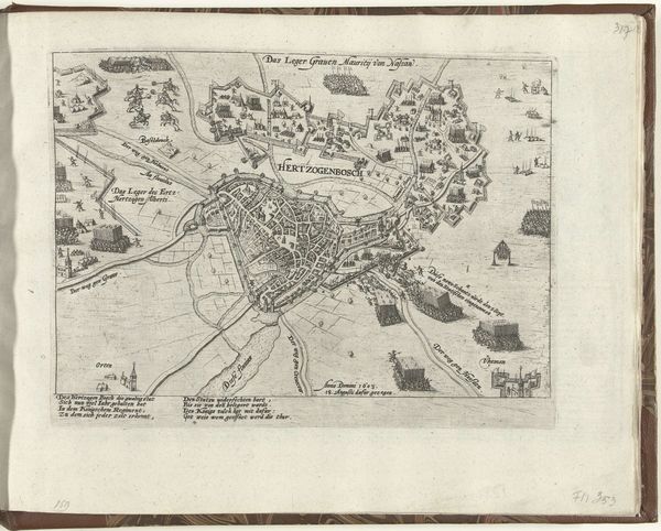
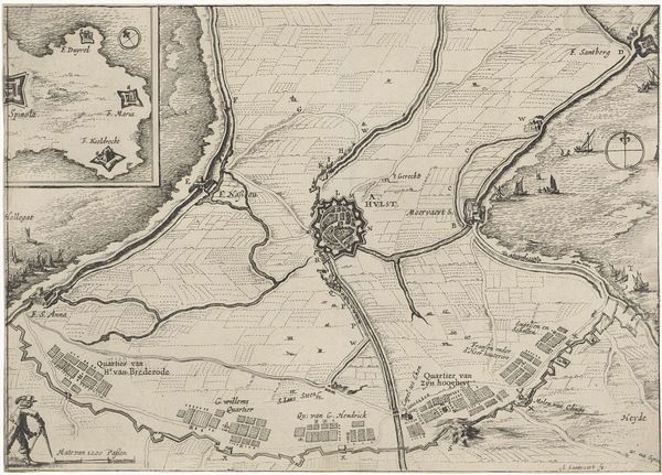
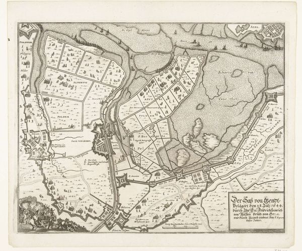
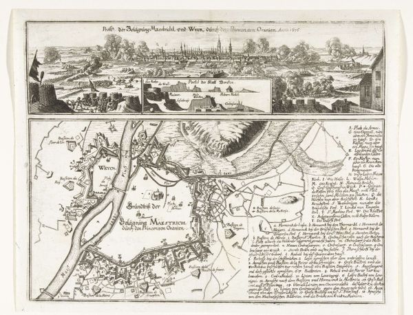
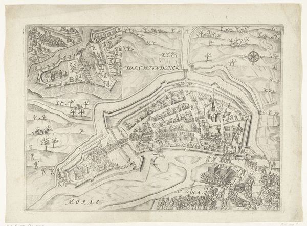
This is a print made by Salomon Savery in the 17th century, depicting the siege of Maastricht. It’s made using an etching technique, where lines are bitten into a metal plate with acid, then inked and printed onto paper. The resulting image offers a bird's-eye view of the battle, rich with topographic detail. But it’s not just a dispassionate record. Notice the careful rendering of fortifications, troop movements, and the surrounding landscape. The map is not so much a guide for travelers as it is a tool of power, an instrument to communicate military strategy. Consider the labor involved: from the initial survey of the land, to the skilled hand of the etcher meticulously translating that information onto the plate, to the pressmen churning out copies for distribution. This wasn’t just art; it was information, and its production was deeply intertwined with the political and economic forces of the time. So, the next time you look at a map, remember it's not just about geography. It's about people, processes, and power, all etched into existence.
Comments
No comments
Be the first to comment and join the conversation on the ultimate creative platform.