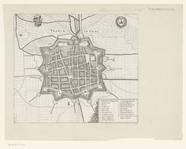
graphic-art, print
#
graphic-art
# print
#
cityscape
Dimensions: height 619 mm, width 840 mm
Copyright: Rijks Museum: Open Domain
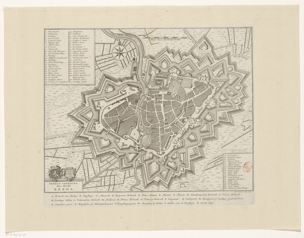
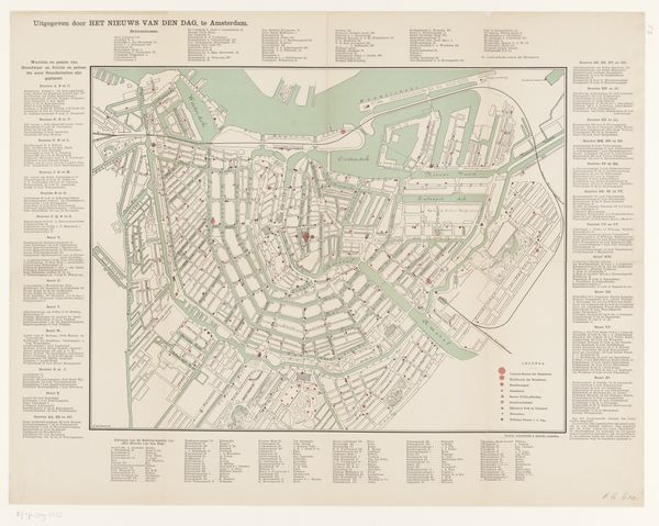
Editor: Here we have Julius Brouwers’ 1869 print, "Plattegrond van Antwerpen," or "Map of Antwerp." The detail is just incredible! All those tiny streets and building blocks, it’s almost overwhelming to look at. I’m struck by how this map seems to celebrate the expanding city, almost like a portrait. How do you see this map, from a historical viewpoint? Curator: Precisely. A map is never neutral; it’s always a statement. The late 19th century saw a massive shift in urban development driven by industrialization. How do you think a detailed map like this played into that social and political landscape? Editor: Hmm, I guess it offered a kind of legibility and control, almost a sense of mastering the urban space, for administrators and the upwardly mobile middle class? Curator: Exactly. Maps became tools of governance, used for planning infrastructure and managing populations. They also functioned as status symbols. Ownership and understanding of a city's layout conferred a kind of power, suggesting membership within a certain intellectual and social stratum. How do you see this map participating in the visualization of that political dynamic? Editor: Well, its title includes the word ‘guide’, so in this sense, it makes Antwerp accessible to anyone, thereby potentially democratizing the notion of power? Curator: Good point! The availability of such maps did, in some sense, democratize access to urban knowledge, enabling newcomers to navigate the city more easily. However, we should also acknowledge that this democratization often went hand in hand with social sorting, determining where certain populations would settle. I wonder what kind of impact it had on Antwerp at the time. Editor: This is really interesting, seeing how a seemingly straightforward image like a map can be interpreted through different cultural and historical lenses. Curator: Indeed! It highlights how visual representations shape our understanding of space and society.
Comments
No comments
Be the first to comment and join the conversation on the ultimate creative platform.
More like this