drawing, print, engraving
#
drawing
#
baroque
#
dutch-golden-age
# print
#
cityscape
#
engraving
Dimensions: height 223 mm, width 254 mm
Copyright: Rijks Museum: Open Domain
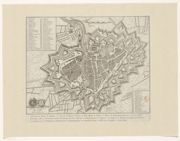
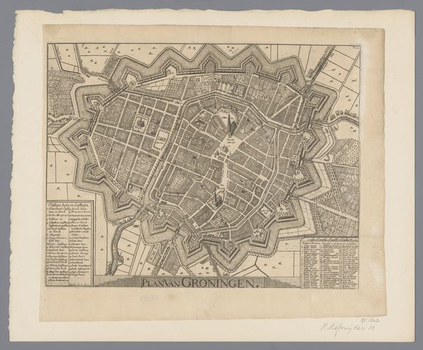
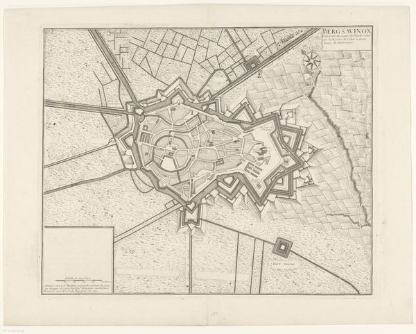
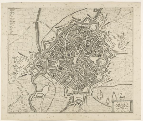
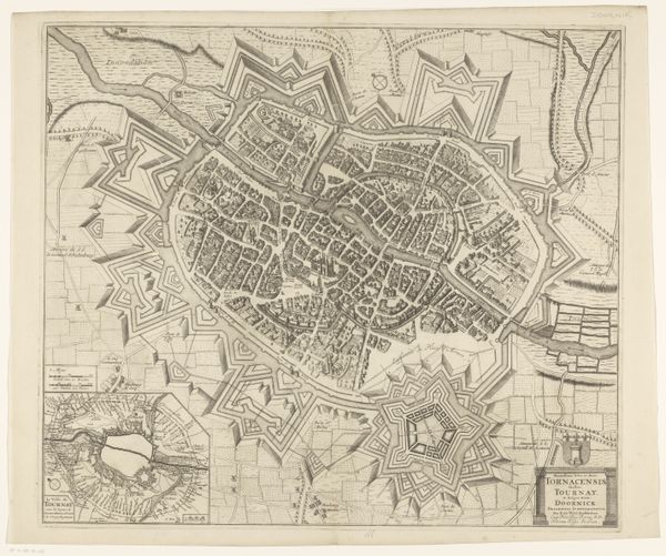
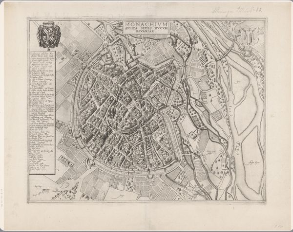
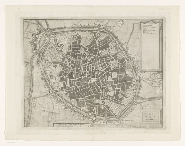
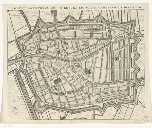
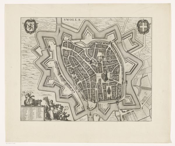
Editor: Here we have “Plattegrond van Frankenthal,” a drawing and print made sometime between 1643 and 1690 by Matthäus Merian I. I’m struck by the intricate details and the rigid, almost militaristic layout of the city. How do you interpret this work? Curator: It's a fascinating visual record. Notice how the city itself is contained within a star-shaped fortification. This wasn't just about aesthetics; it was deeply symbolic of protection, order, and control. The star, throughout history, has been associated with guidance and destiny. Editor: So, the shape isn’t purely functional? Curator: Not entirely. The shape reflects a specific type of power being exerted here. Each point is strategically placed to deflect attacks. The map is densely packed with miniature symbols which create the feeling of walking the space, so in fact the representation has as much, if not more impact than the built environment. It’s not simply a layout; it's a symbolic assertion of dominance and security during a tumultuous period in European history. Do you notice other symbols? Editor: I see a crest at the top, but I don’t know what it represents. Curator: That crest is a heraldic symbol, signifying the authority and lineage associated with Frankenthal. It acts as a visual shorthand, immediately conveying the city’s established status and power. In heraldry, everything—colors, animals, shapes—tells a story about the family's or city's identity, virtues, and history. Consider this work an entire world of visual cues rooted in shared cultural understanding. Editor: It’s incredible how much information is conveyed through these images! I’ll definitely pay closer attention to the symbols in artworks moving forward. Curator: Exactly! These elements allow the artwork to exist across centuries and languages, echoing across our minds.
Comments
No comments
Be the first to comment and join the conversation on the ultimate creative platform.
More like this