drawing, graphic-art, print
#
drawing
#
graphic-art
#
map drawing
# print
#
landscape planning
#
landscape
#
geometric
#
architectural section drawing
#
architectural drawing
#
cityscape
#
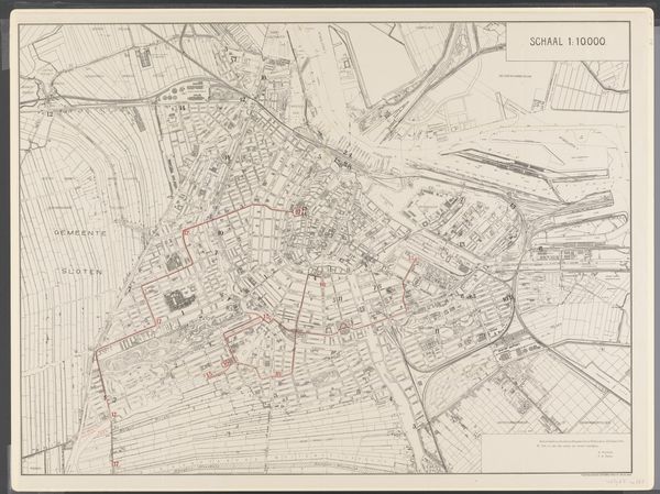
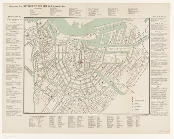
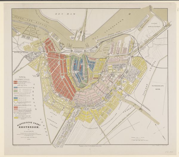
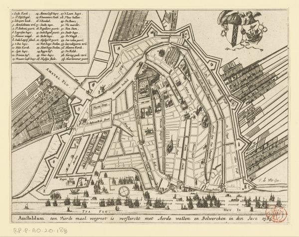
map making
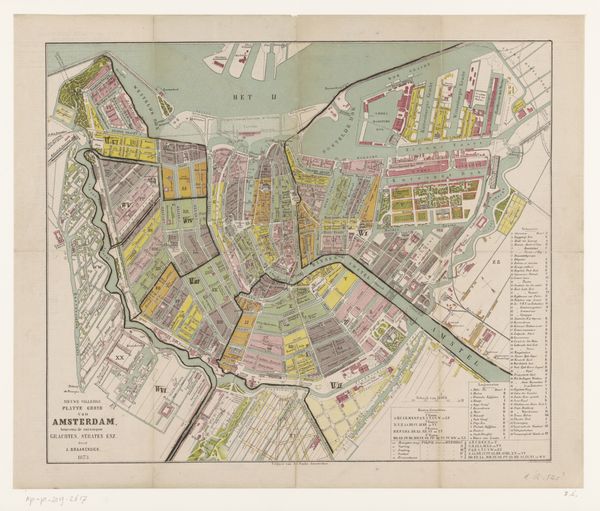
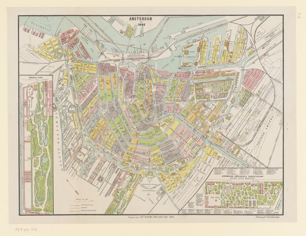
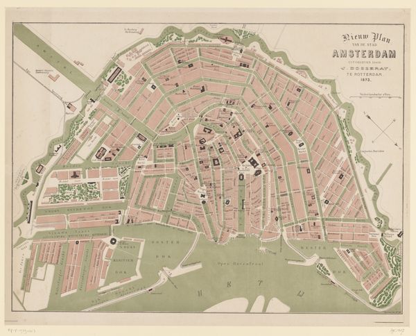
Dimensions: height 700 mm, width 760 mm
Copyright: Rijks Museum: Open Domain
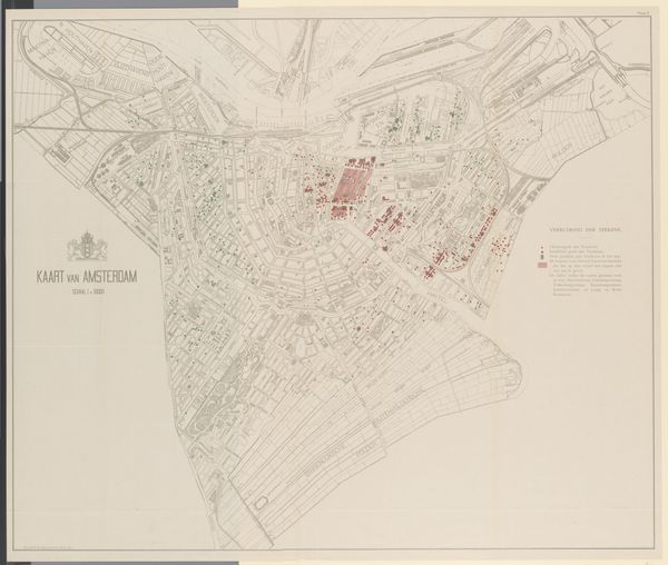
This “Plattegrond van Amsterdam” was made in 1902 by an anonymous artist, and it shows us the city like a puzzle of shapes and colors. The first thing that grabs you is the grid, a kind of skeleton holding everything together. Then you notice the colors – muted greens and reds, like faded memories. Look at the way the artist uses these colors to define the buildings and waterways. The red is like a blush, highlighting the areas where people lived and worked. There’s a real tenderness in the way the city is depicted, even with the rigid grid. It reminds me of some of Agnes Martin’s work, where she uses grids to create a sense of calm and order. Ultimately, this map is more than just a guide; it’s a way of seeing and experiencing a city. It reminds us that art is an ongoing conversation, always open to new interpretations and ideas.
Comments
No comments
Be the first to comment and join the conversation on the ultimate creative platform.
More like this