drawing, print, paper, ink, engraving
drawing
baroque
pen sketch
paper
ink
cityscape
engraving
Dimensions: height 197 mm, width 248 mm
Copyright: Rijks Museum: Open Domain
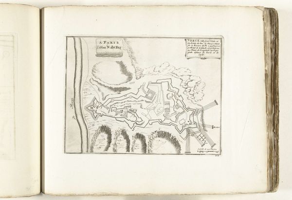
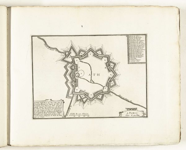
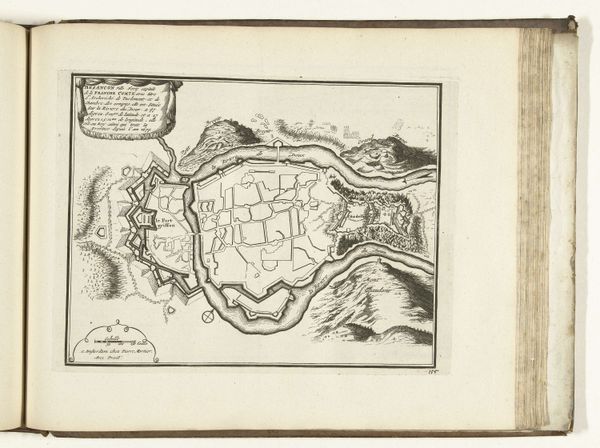
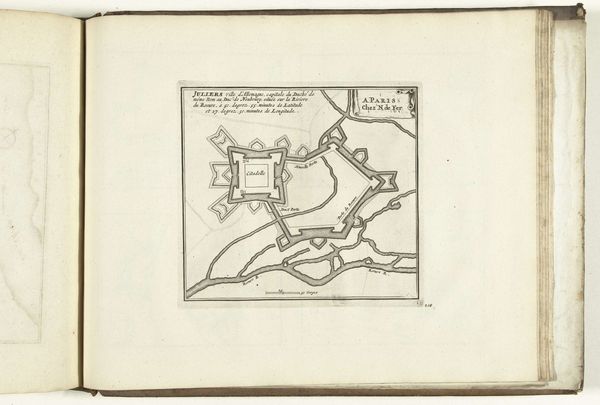
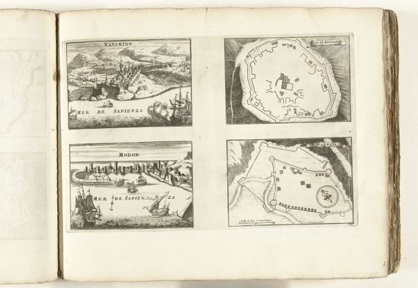
This anonymous map, made in 1726, shows us Ostend, a port in Flanders. Cartography like this was crucial for the development of the early modern state. In a time of near-constant warfare, maps were vital for military planning and political control. Notice how the town is dominated by its fortifications. This star-shaped layout was designed to maximize defensive capabilities, a clear indication of the ever-present threat of invasion. While ostensibly objective, maps were also powerful tools for shaping perceptions. By emphasizing certain features and omitting others, mapmakers could create a particular narrative about a place. Researching historical archives and military records can reveal the complex political motivations behind these seemingly neutral images. Understanding the social and institutional context is essential for interpreting such a work. Only then can we appreciate the full story behind this plan of Ostend.
Comments
No comments
Be the first to comment and join the conversation on the ultimate creative platform.