drawing, graphic-art, print, ink, engraving
#
drawing
#
graphic-art
#
baroque
# print
#
pen sketch
#
perspective
#
ink
#
geometric
#
cityscape
#
engraving
Dimensions: height 185 mm, width 248 mm
Copyright: Rijks Museum: Open Domain
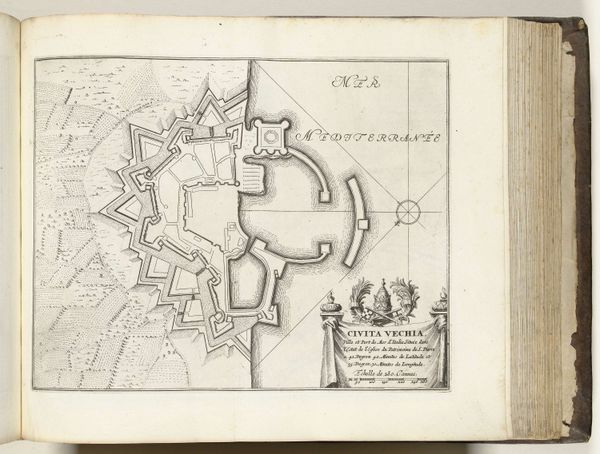
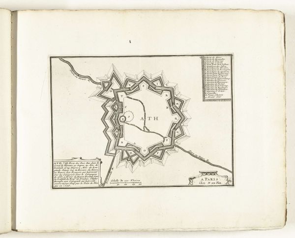
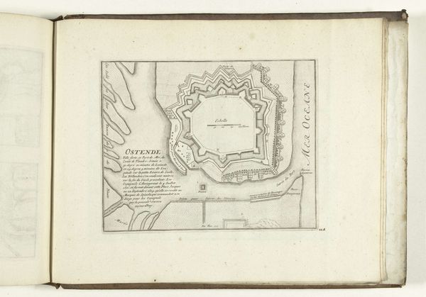
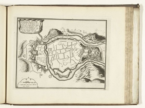
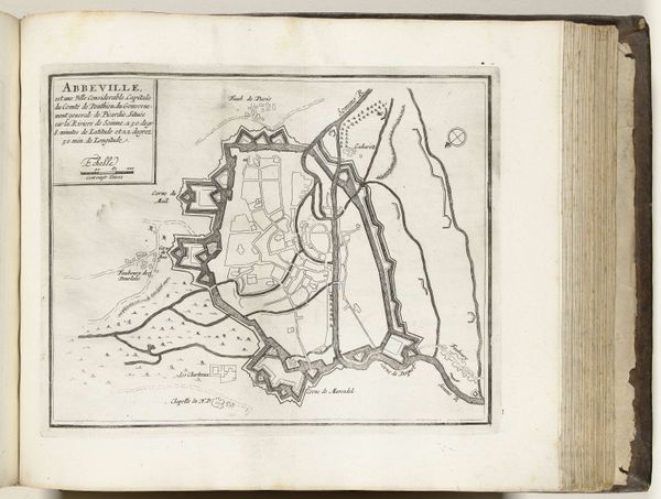
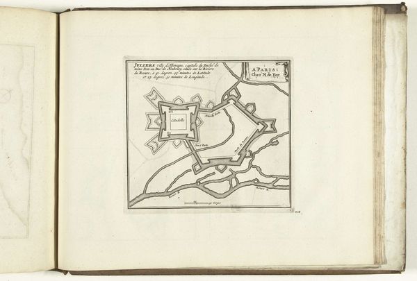
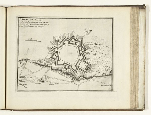
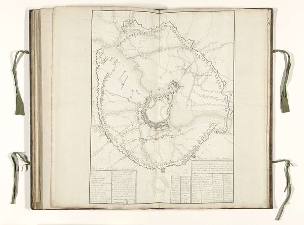
This is Pieter Devel’s 1712 “Plattegrond van le Quesnoy,” or map of Le Quesnoy, made using printmaking techniques. Maps like this weren't just about wayfinding. They were tools of power, meticulously crafted to survey and control territory. The fine lines, precise angles, and detailed renderings of fortifications speak to the engraver's skill, and the city planner's ambition. The social context of this map is deeply embedded in labor, politics, and consumption. Printmaking was a laborious process. Every line had to be cut into the plate by hand, demanding precision and patience. The act of creating and distributing these maps also had political implications. They were used to assert dominance, plan military strategies, and manage resources. When you look at this map, remember that it's not just a representation of a place, but also the result of skilled labor and political intent. It bridges the domains of craft and fine arts, highlighting the importance of materials, making, and context in understanding its full meaning.
Comments
No comments
Be the first to comment and join the conversation on the ultimate creative platform.
More like this