drawing, print, ink, engraving
#
drawing
#
baroque
# print
#
pen illustration
#
pen sketch
#
old engraving style
#
personal sketchbook
#
ink
#
ink drawing experimentation
#
geometric
#
pen-ink sketch
#
pen work
#
sketchbook drawing
#
cityscape
#
storyboard and sketchbook work
#
sketchbook art
#
engraving
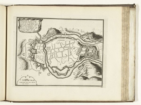
Dimensions: height 200 mm, width 275 mm
Copyright: Rijks Museum: Open Domain
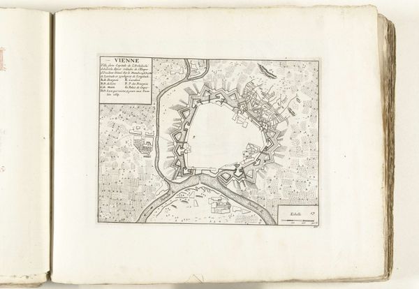
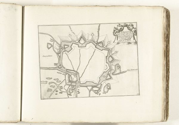
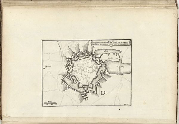
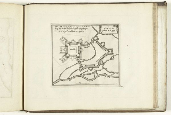
Curator: Look at this intriguing find, “Plattegrond van Ath,” made around 1702. An anonymous drawing rendered in ink. Editor: Immediately, I’m struck by the relentless precision of this drawing. So controlled! Look at all the tiny star-shaped fortresses—they form this intimidating perimeter around the city. It's the very definition of "defensive infrastructure." Curator: Indeed. Its stark formality contrasts with what I imagine daily life was like within those fortifications. All that pen-work, probably by candlelight. Who made this? A cartographer, a soldier, or maybe a daydreaming artist imagining defense from their studio? Editor: Someone definitely steeped in the military-industrial complex of the time, right? Imagine the amount of labour invested into creating not only this detailed drawing, but into the actual building of these forts—the sourcing of stone, the shaping, the placement... all feeding a cycle of resource consumption and conflict. Curator: Precisely! One begins to wonder about the narrative surrounding such cityscapes. This is more than geography; it hints at the looming geopolitical tension. What stories does this rigid city plan whisper to us now, centuries removed? Editor: Stories of power and control rendered not only in stone, but also in ink on paper. This engraving itself becomes a tool. Disseminating this plan would be strategically valuable. I find myself contemplating the socio-economic power behind its making—who financed this venture? Curator: A worthy question, indeed. The stark beauty in those unwavering lines reminds us that art has always intertwined with power dynamics. How might such art then affect ordinary people who occupy this place? Awe? Fear? A weird sense of home despite its militaristic undertones? Editor: More like resignation, I suspect. Looking at it, I start thinking about standardization, too. Like, how did this design for fortresses impact other locations? This single piece acts as a window into both an artistic practice of that era, as well as, of course, to those socio-political issues too. Curator: I agree. "Plattegrond van Ath" is a powerful testament to how a seemingly simple sketch can unlock multiple layers of understanding, artistic expression and historical truth intertwined. Editor: Absolutely. You really do see how this intricate drawing serves not just as a map, but also as a lens, revealing complex layers of production, resources, labor, and the very structures that dictate lived experience in times of strife.
Comments
No comments
Be the first to comment and join the conversation on the ultimate creative platform.
More like this