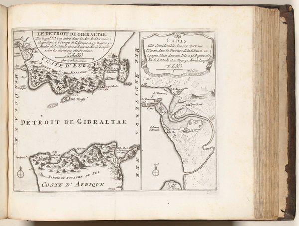
print, engraving
baroque
old engraving style
landscape
geometric
cityscape
engraving
Dimensions: height 222 mm, width 296 mm
Copyright: Rijks Museum: Open Domain
This is an anonymous chart of the natural harbor of Puerto de Pasajes, made in 1726. It's an etching that presents us with a structured vision, characteristic of its time, prioritizing clarity and order. The composition neatly divides the space into distinct zones: the detailed topography of the surrounding landmasses and the open expanse of the port itself. Notice how the linear precision of the coastline contrasts with the stylized rendering of the mountainous terrain, each peak delineated with repetitive, almost rhythmic strokes. The contrast emphasizes the play between natural form and cartographic representation. This map reflects an emerging scientific worldview, categorizing and quantifying space. Yet, it doesn’t escape aesthetic consideration. Look at the decorative elements – the cherubs flanking the title – which infuse a sense of classical elegance. The map becomes more than a functional document; it’s a cultural artifact embodying the era's pursuit of knowledge. The visual language of this chart invites us to consider how early moderns perceived and sought to control the world around them.
Comments
No comments
Be the first to comment and join the conversation on the ultimate creative platform.