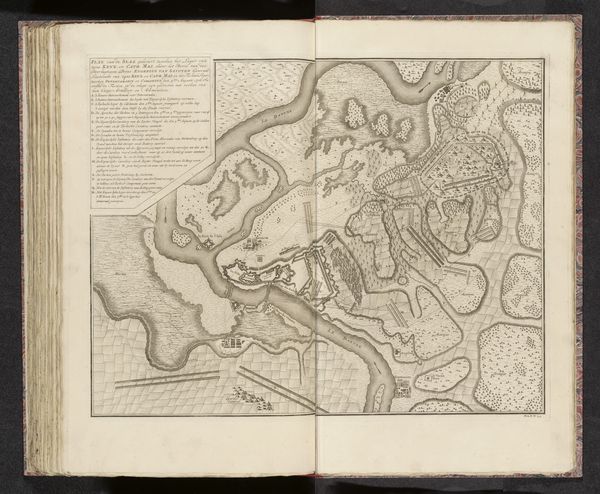
drawing, print, paper, ink, pen, engraving
drawing
baroque
pen sketch
paper
ink
sketchwork
pen work
14_17th-century
pen
cityscape
engraving
Dimensions: height 211 mm, width 275 mm
Copyright: Rijks Museum: Open Domain
This is an anonymous, undated, early 18th century map of Verua. It comes to us from a time of shifting geopolitical power, when maps were not just representations of space, but instruments of political and military strategy. Consider how the precision of the lines, the detailed rendering of fortifications, and the strategic layout of the city speak to the priorities of the mapmaker. What we see here is a projection of power and control. Note how the map is oriented to the North. Without a known author, we must consider the map itself as a cultural artifact, revealing as much about the anxieties and ambitions of its era as it does about the physical landscape. It invites us to reflect on how places are not simply geographical locations but are also constructed through political lenses. Think about the ways in which power influences our understanding and representation of the world.
Comments
No comments
Be the first to comment and join the conversation on the ultimate creative platform.